Level 3Climbing Trails to Experience the Natural Environment of the Mountains
3-4Yakusugi Land - Mt. Tachu round trip (day trip)
This round-trip course passes through Yakusugi Land and extends to Mt. Tachu. Provides an experience of the natural environment of the mountains of Yakushima, with highlights such as the Yakusugi Tennen-no-mori Natural Forest and the Tenchu-seki Rock near the peak. The route can be completed in one day, however it is for experienced climbers and requires equipment and decision-making skills.
| Total distance | 7.0 km (for reference) |
|---|---|
| Level of physical strength | 3 |
| Level of difficulty | C |
Display switching


Map
Approval by the Director-General of the Geospatial Information Authority of Japan based on the Survey Act (use) R3JHs 762
Detailed route
-
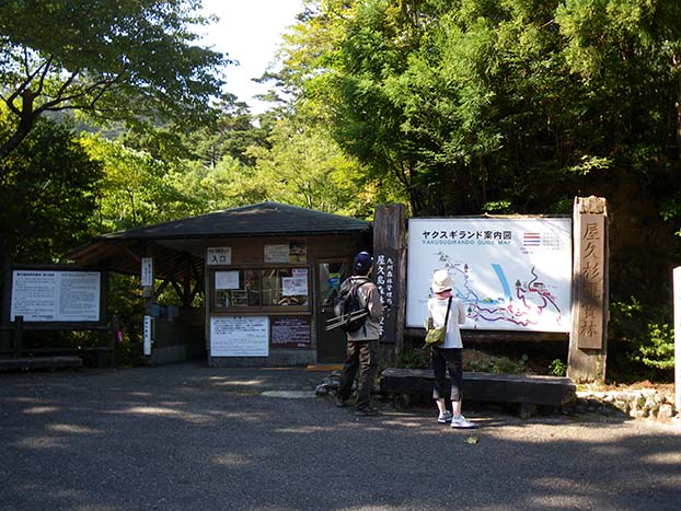
Yakusugi Land Entrance 


Toilets are located in the Shinsen building across from the entrance.
-
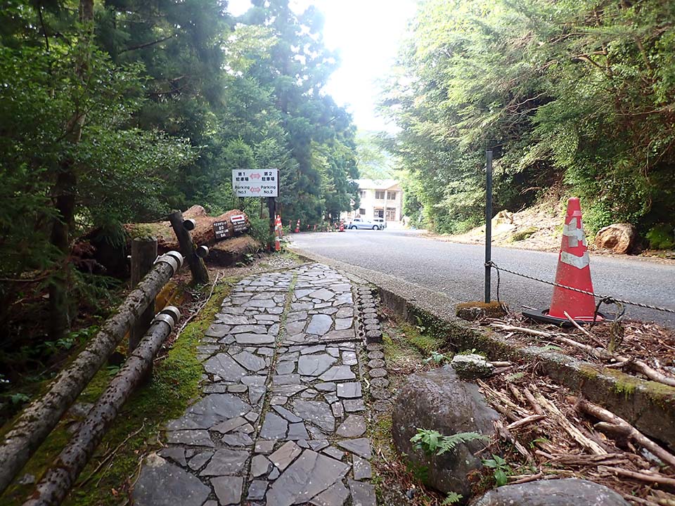
Rinsenbashi Bridge -
Branch A_(4) 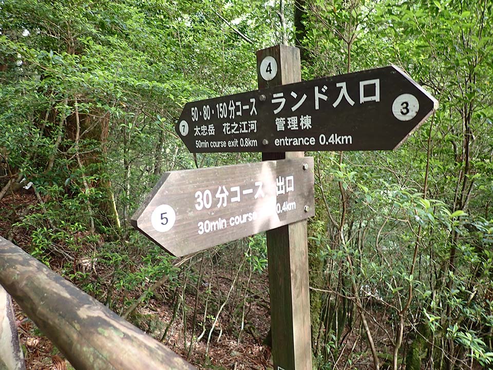
-
Branch C_(7) 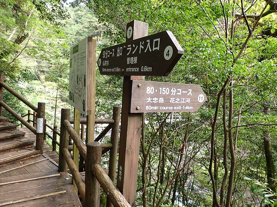
-
Branch E_(11) 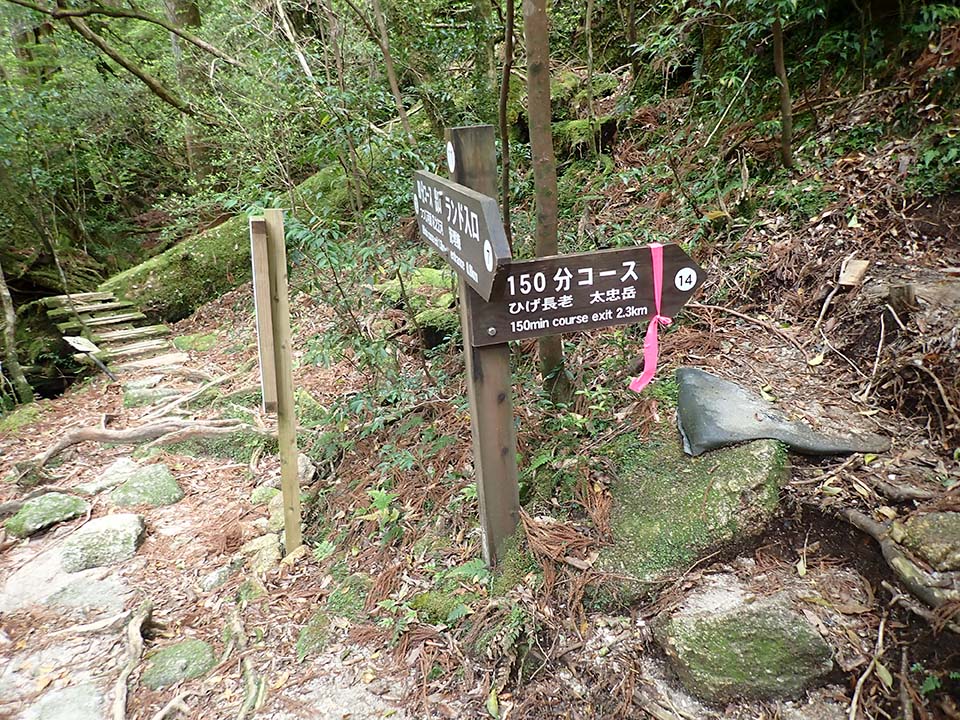
-
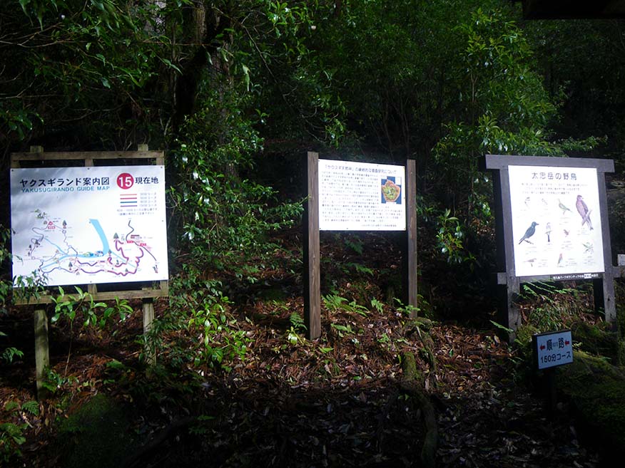
Branch G_(15) 
Branch G = Jamon-sugi Cedar
-
Tenmon-no-mori Forest 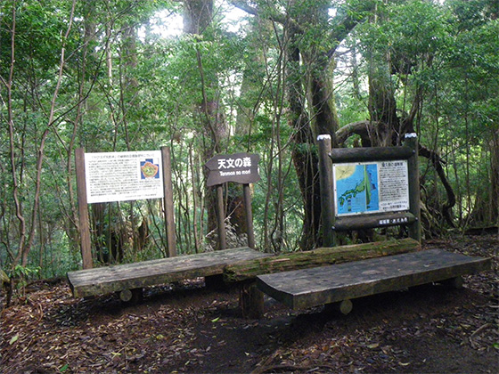
-
Mt. Tachu 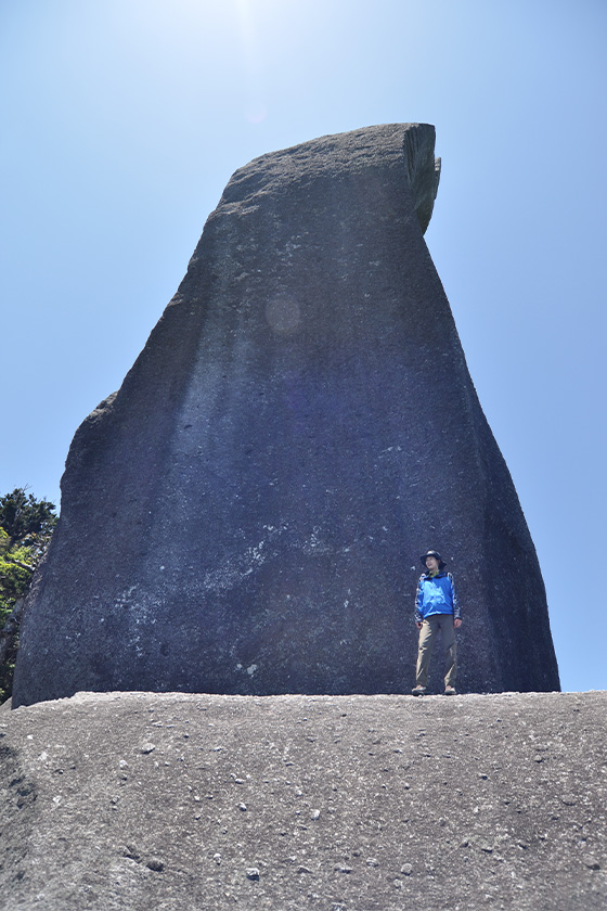
-
Tenmon-no-mori Forest -
Branch G_(15) Branch G = Jamon-sugi Cedar
-
Branch E_(11) -
Branch C_(7) -
Branch A_(4) -
Rinsenbashi Bridge -
Yakusugi Land Exit Please do not leave vehicles idling in the parking lot.