Level 5Climbing Trails Providing a Deep Experience of the Magnificent Pristine Natural Environment of the Mountains
Many sections are not maintained, and there are serious risks when crossing streams, and of becoming lost. Risk management is based on personal-responsibility.
Many sections are not maintained, and there are serious risks when crossing streams, and of becoming lost. Risk management is based on personal-responsibility.
5-2Yodogawa Trail Entrance - Mt. Miyanoura - Mt. Nagata - Hanayama Trail Entrance (overnight)
The route connects the Nagata Trail, Mt. Nagata, and the Hanayama Trail. It is a long route with few markings, and is therefore suited to experienced climbers with map-reading skills. Overnight stays in the mountains are assumed.
| Total distance | 16.0 km (for reference) |
|---|---|
| Level of physical strength | 5 |
| Level of difficulty | E |
Display switching
Map
Approval by the Director-General of the Geospatial Information Authority of Japan based on the Survey Act (use) R3JHs 762
Detailed route
-
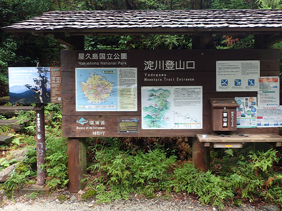
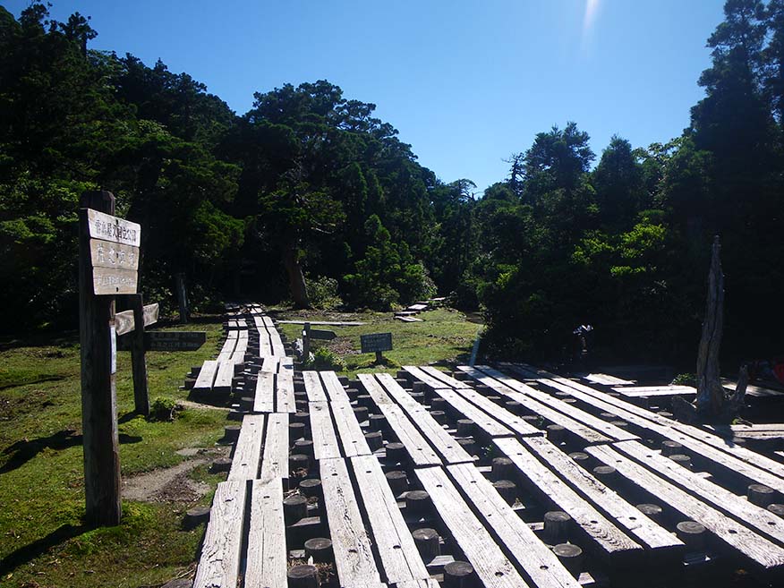
Yodogawa Trail Entrance 


-
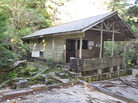
Yodogawa Hut 


-
Hananoego Junction Portable toilet huts are provided in the area.
-
Kuromidake Branch 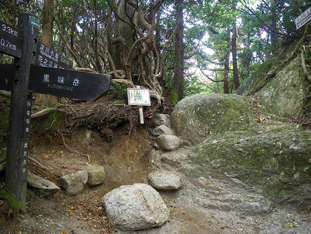
-
Nageishidaira 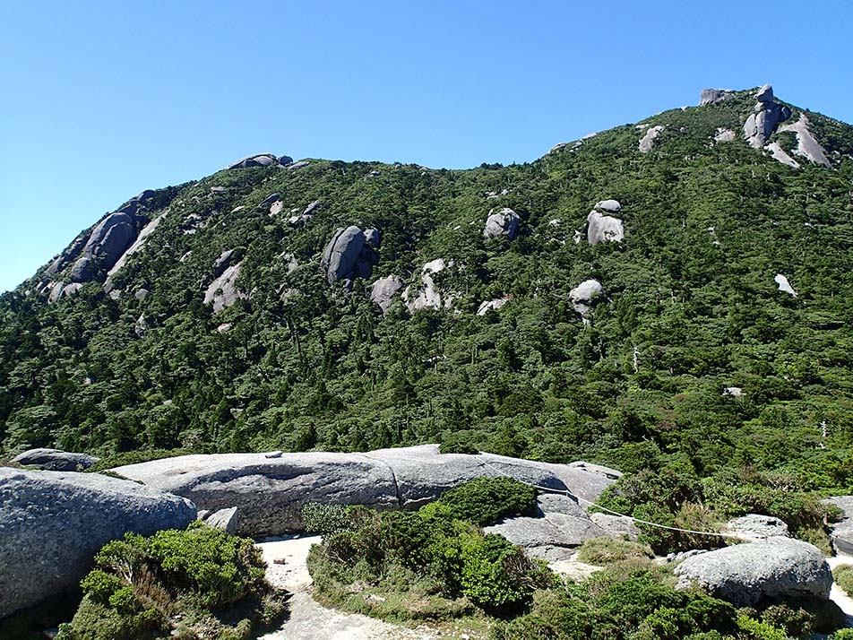
-
Mt. Okina Saddle 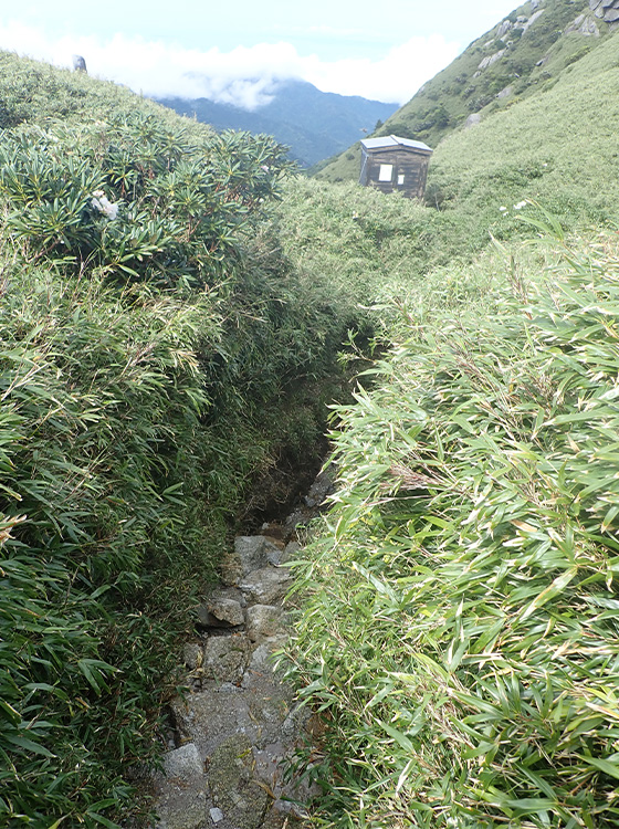
-
Mt. Miyanoura 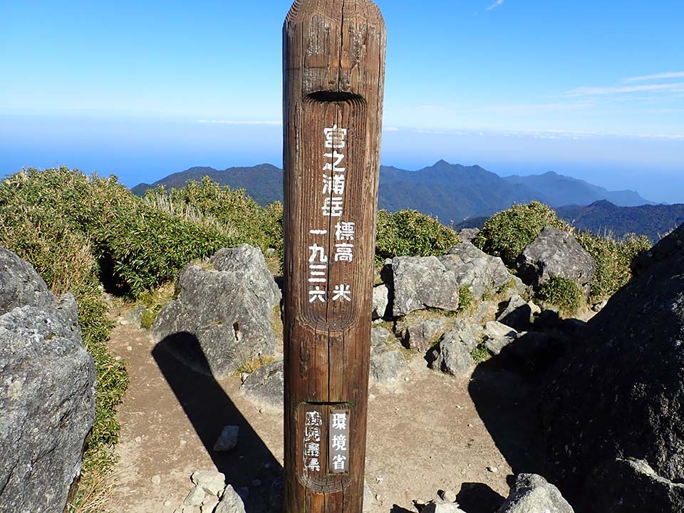
-
Yakeno Three-way Junction 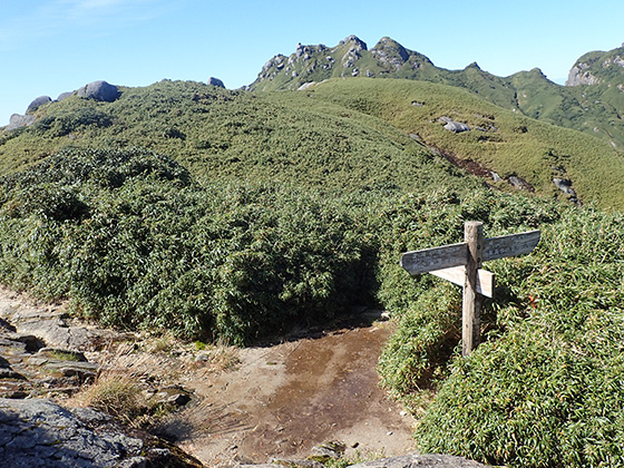
-
Mt. Nagata Peak 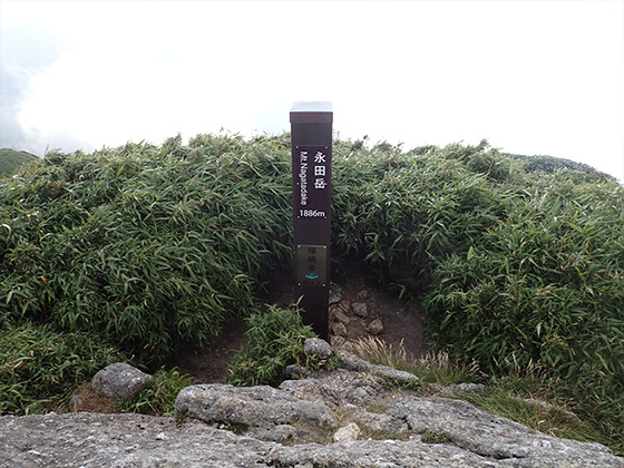
-
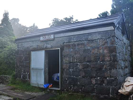
Shikanosawa Hut 
-
Oishi Tenboudai Viewing Point -
Hanayama Clearing 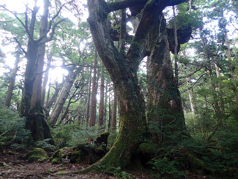
-
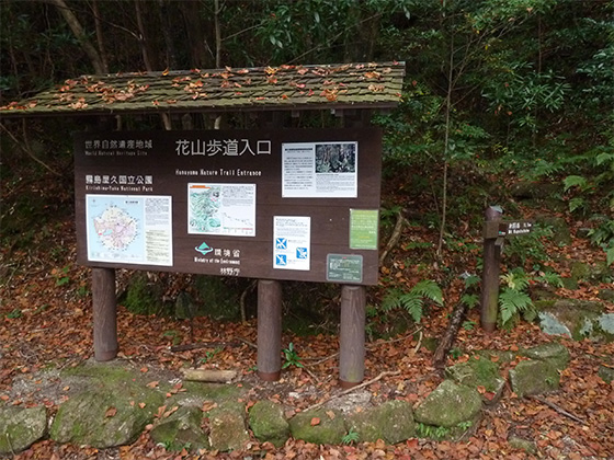
Hanayama Trail Entrance Please do not leave vehicles idling in the parking lot.