4-8Yodogawa Trail Entrance - Mt. Miyanoura - Shirataniunsui-kyo Ravine - Kusukawa Trail Entrance (overnight)
It extends from the Yodogawa Trail Entrance to Mt. Miyanoura, the Jomon-sugi Cedar, the Shirataniunsui-kyo Ravine, and finally to the Kusukawa Trail Entrance. The section from the Shirataniunsui-kyo Ravine to the Kusukawa Trail is paved with stone.This trail still has stone guideposts, and the route allows visitors to experience not only the pristine nature, but also the sacredness of the mountains. It requires physical strength and the ability to manage risk. In the Shirataniunsui-kyo Ravine, fording streams becomes difficult at some crossing points when the water level rises, so the route requires decision-making skills in bad weather. The route requires decision-making skills in bad weather.
| Total distance | 22.0 km (for reference) |
|---|---|
| Level of physical strength | 6 |
| Level of difficulty | D |
Display switching
Detailed route
-
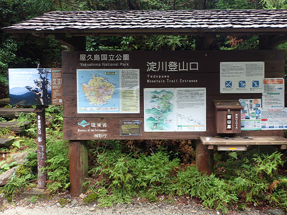
Yodogawa Trail Entrance 


-
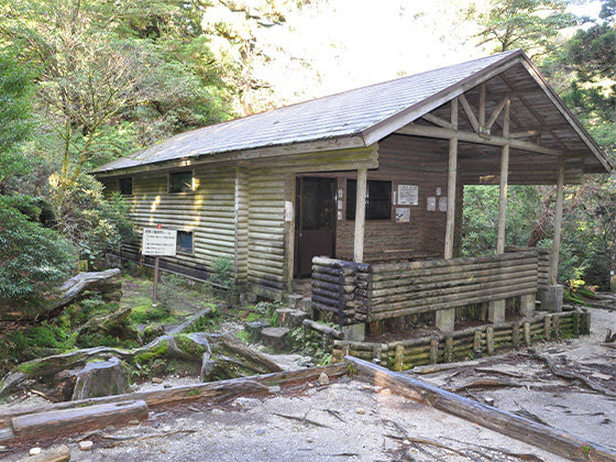
Yodogawa Hut 

-
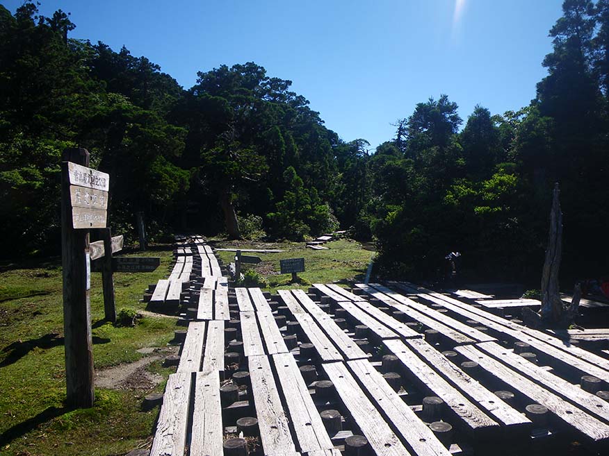
Hananoego Junction Portable toilet huts are provided in the area.
-
Kuromidake Branch 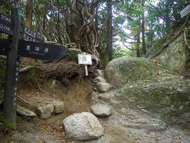
-
Nageishidaira 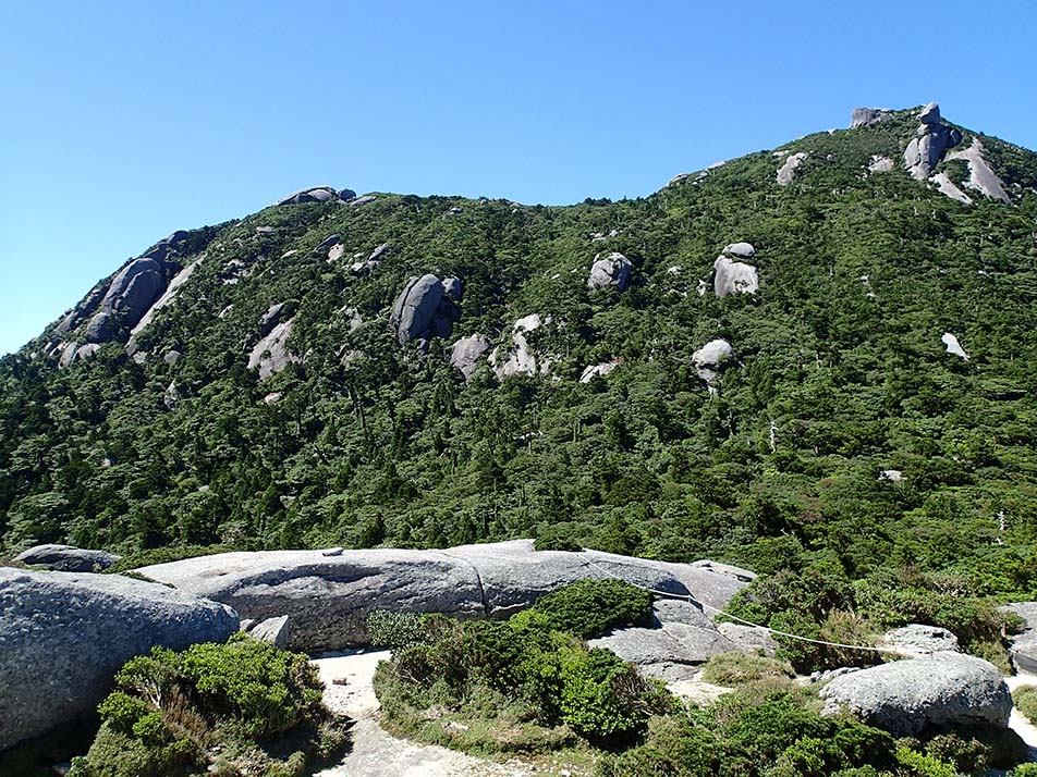
-
Mt. Okina Saddle 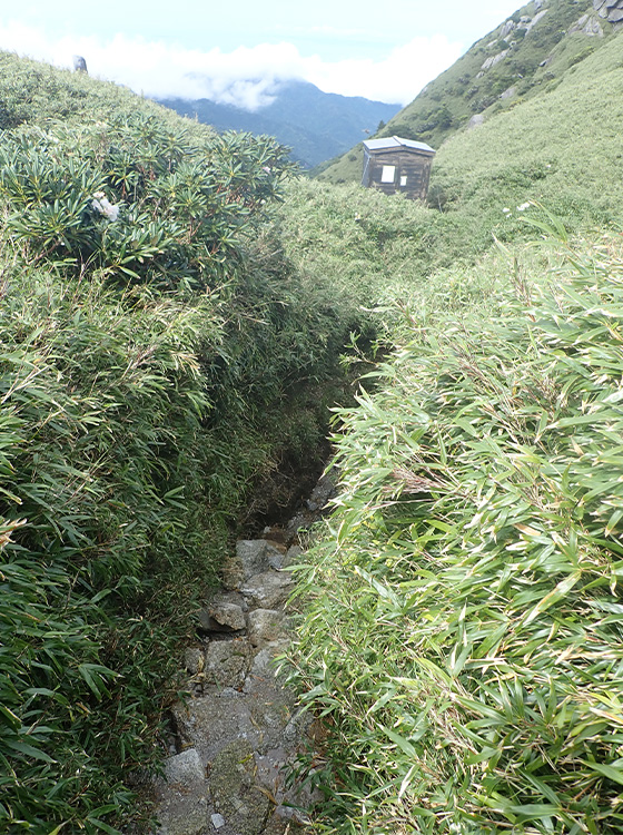
-
Mt. Miyanoura 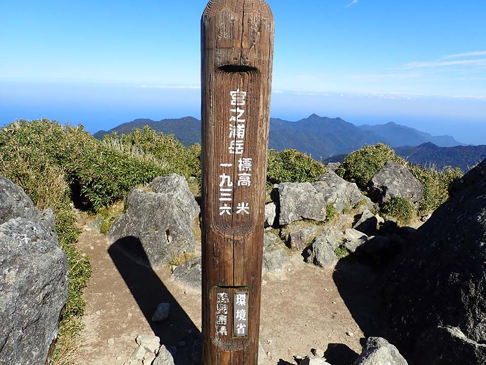
-
Yakeno Three-way Junction 
-
Hiraishiiwaya 
-
Daiichi Tenboudai Viewing Point -
Shin-takatsuka Hut 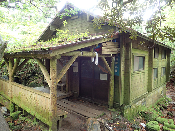
-
Takatsuka Hut 
-
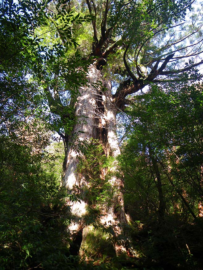
Jomon-sugi Cedar 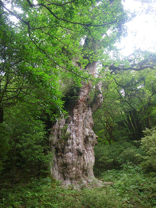
-
Daio-sugi Cedar Portable toilet huts are provided in the area.
-
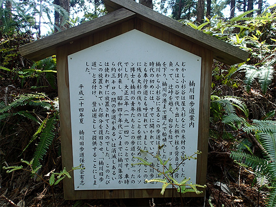
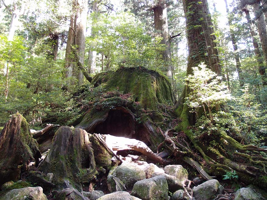
Wilson-kabu Stump Toilet huts are located near the Okina-sugi Cedar remains, and a water point is located beside the trail above the Wilson-kabu Stump.
-
Okabu Trail Entrance 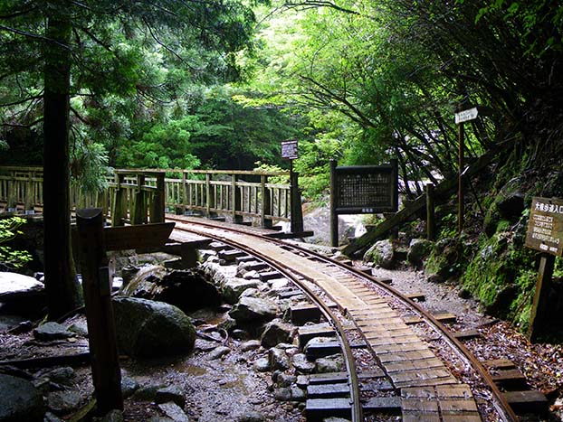
-
Kusukawa Junction 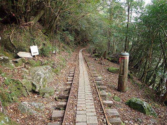
-
Tsujitoge Pass 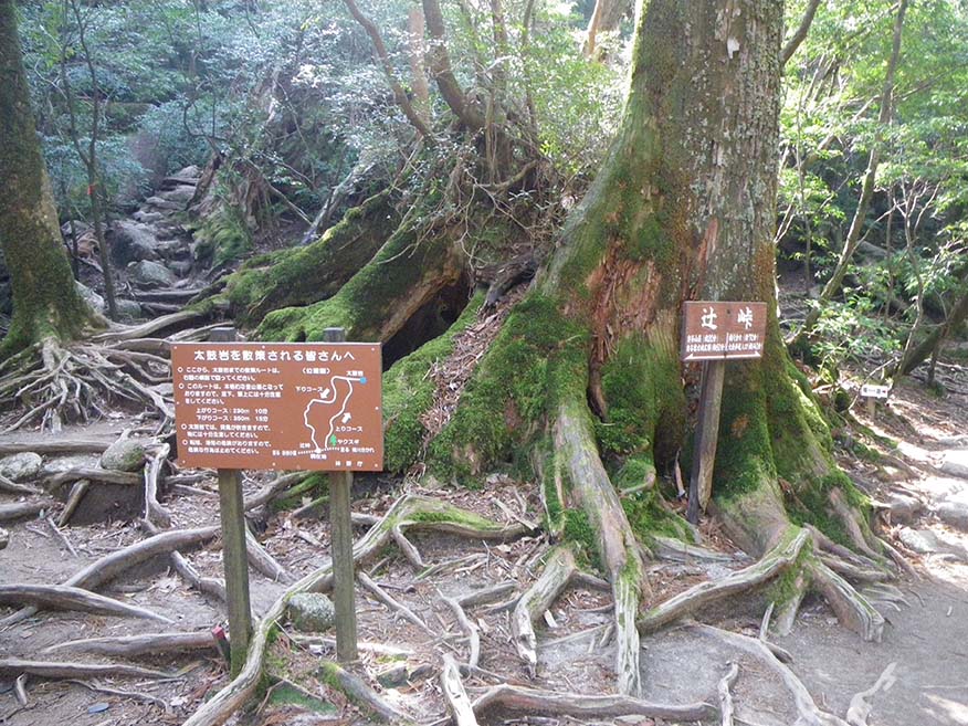
-
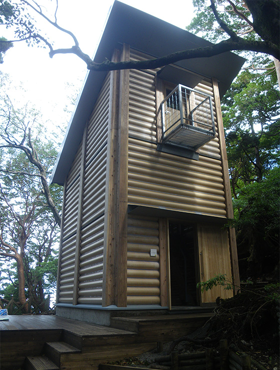
Shiratani Hut 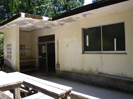
-
Branch 4_(11) 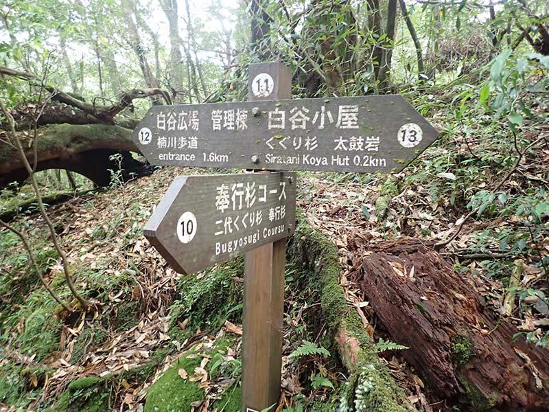
-
Branch 5_(12) 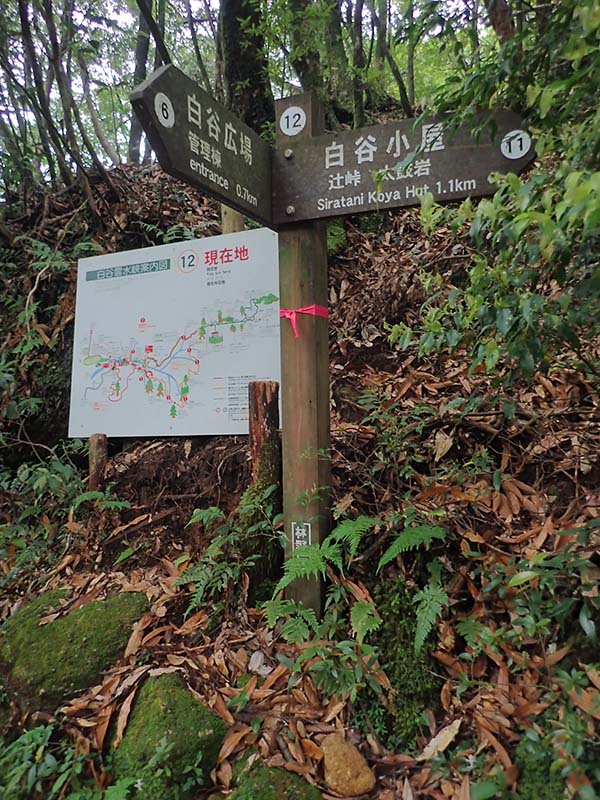
-
Branch 3_(6) 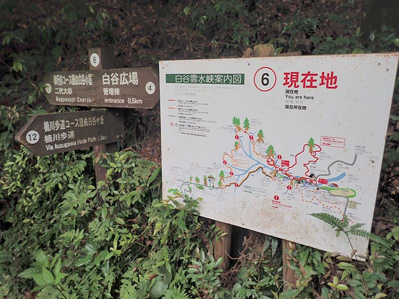
-
Branch 1_(2) 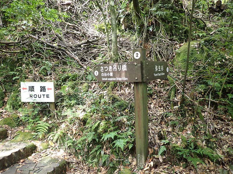
-
Shirataniunsui-kyo Ravine Entrance (Administration Building) 
-
Sanbon-sugi Cedar -
Kusukawa Trail Entrance