Level 4Climbing Trails to Experience the Pristine Natural Environment of the Mountains
4-7Yodogawa Trail Entrance - Onoaida Trail Entrance (day trip)
It connects the Yodogawa Trail and Onoaida Trail Entrances. Highlights include a change in plant life as visitors move from a mixed coniferous and broadleaf forest to an evergreen broad-leaved forest, and the Jyanokuchidaki Falls. Plans should provide for plenty of time due to the length of the route and the lack of any accommodation. At the Tainoko crossing point the river becomes impassable when the water level rises, so the route requires decision-making skills in bad weather.
| Total distance | 11.0 km (for reference) |
|---|---|
| Level of physical strength | 3 |
| Level of difficulty | E |
Display switching

Map
Approval by the Director-General of the Geospatial Information Authority of Japan based on the Survey Act (use) R3JHs 762
Detailed route
-
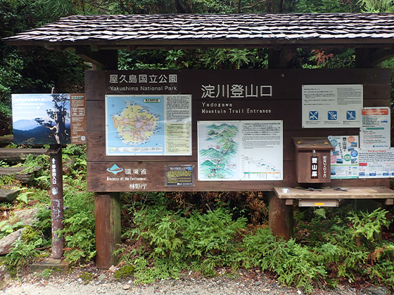
Yodogawa Trail Entrance 


-
Tainokodeai Crossing River Point 
Becomes impassable when water level rises.
-
Jyanokuchi-no-daki Falls Branch 
-
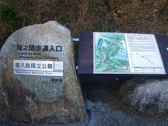
Onoaida Trail Entrance Please do not leave vehicles idling in the parking lot.