Level 3Climbing Trails to Experience the Natural Environment of the Mountains
3-2Yodogawa Trail Entrance - Mt. Kuromi round trip (day trip)
This round-trip route runs from the Yodogawa Trail Entrance to the peak of Mt. Kuromi. The route is a proper trekking trail and some places require the use of installed ropes. It therefore requires preparation, including trekking equipment. The course includes many highlights such as the Hananoego and Kohananoego Marshes, the most southern highland marshlands in Japan, and a view from the peak of Mt. Kuromi, making it a popular route for climbing tours.
| Total distance | 8.0 km (for reference) |
|---|---|
| Level of physical strength | 3 |
| Level of difficulty | C |
Display switching
Map
Approval by the Director-General of the Geospatial Information Authority of Japan based on the Survey Act (use) R3JHs 762
Detailed route
-
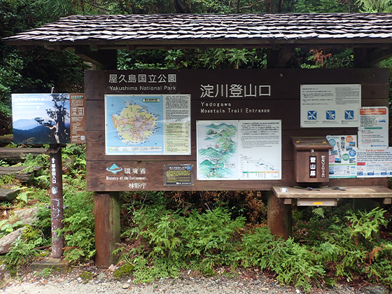
Yodogawa Trail Entrance 


-
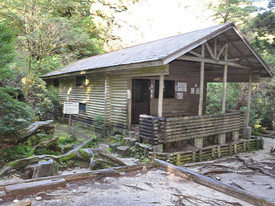
Yodogawa Hut 


-
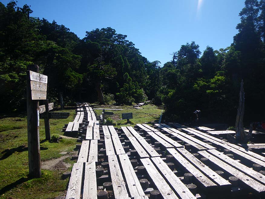
Hananoego Junction Portable toilet huts are provided in the area.
-
Kuromidake Branch 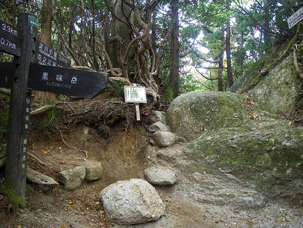
-
Mt. Kuromi 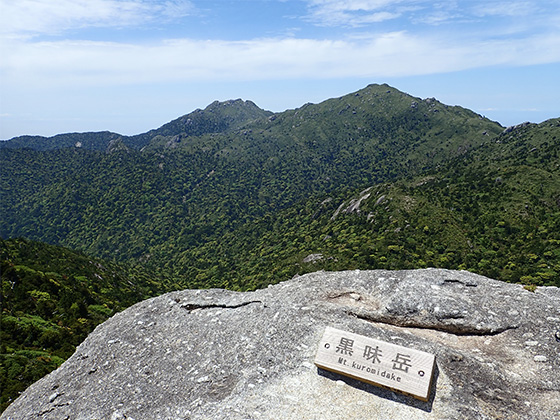
-
Kuromidake Branch -
Hananoego Junction Portable toilet huts are provided in the area.
-
Yodogawa Hut -
Yodogawa Trail Entrance Please do not leave vehicles idling in the parking lot.