Level 2Trekking Trails to Enjoy the Natural Environment of the Mountains
2-1Shirataniunsui-kyo Ravine (Bugyo-sugi Cedar course)
This popular route is known as the 'Bugyo-sugi Cedar Course'. It has several notable ancient trees including the Bugyo-sugi and Sanbonyari-sugi Cedars on the course. It requires not only sufficient climbing equipment and physical strength, but also the ability to make decisions dependent on the weather since most of the trail is unpaved and there are multiple locations where streams must be crossed.
| Total distance | 3.0 km (for reference) |
|---|---|
| Level of physical strength | 2 |
| Level of difficulty | D |
Display switching


Map
Approval by the Director-General of the Geospatial Information Authority of Japan based on the Survey Act (use) R3JHs 762
Detailed route
-
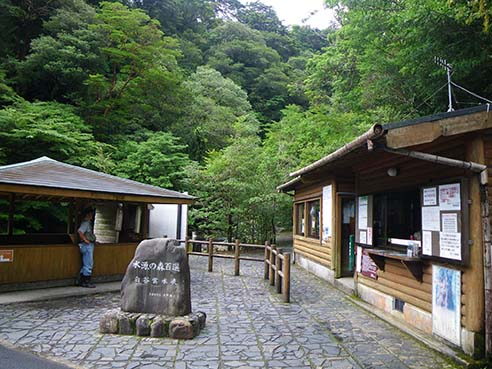
Shirataniunsui-kyo Ravine Entrance (Administration Building) 


-
Branch 1_(2) 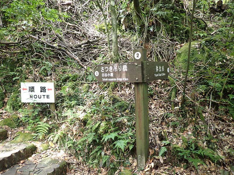
-
Branch 3_(6) 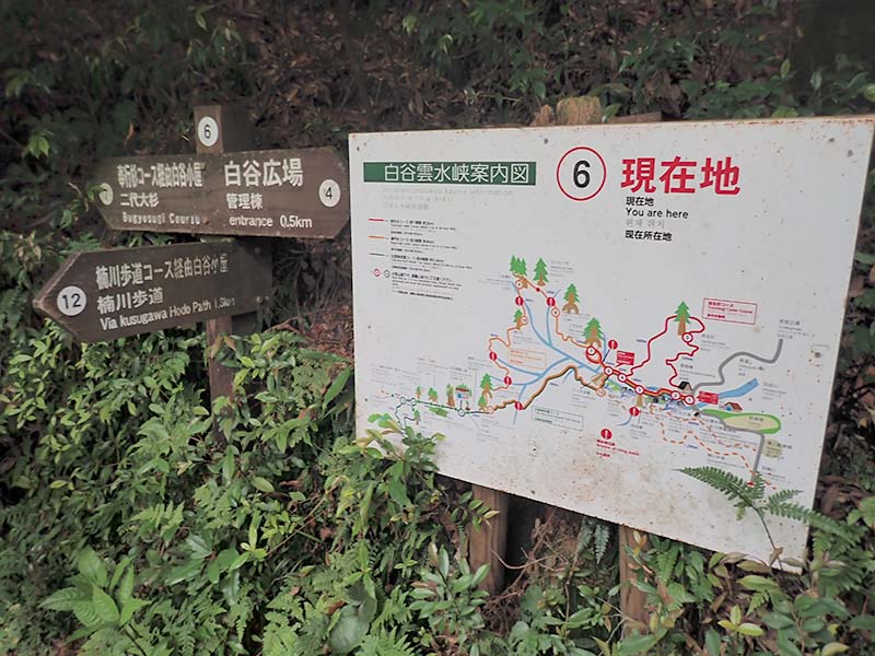
-
Bibinko-sugi Cedar 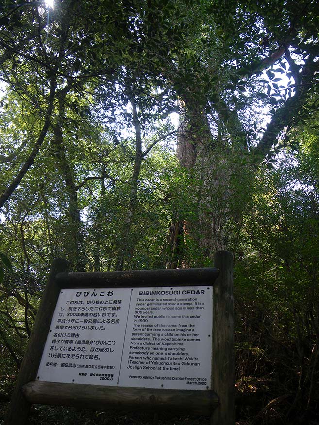
-
Sanbonyari-sugi Cedar 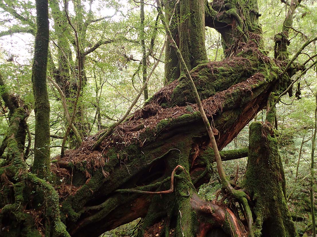
-
Bugyo-sugi Cedar 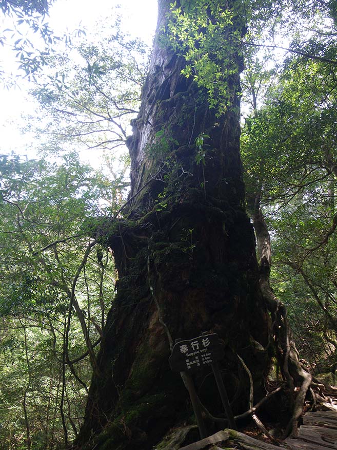
-
Nidai-kuguri-sugi Cedar 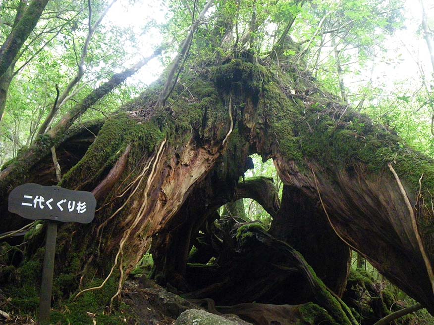
-
Branch 4_(11) 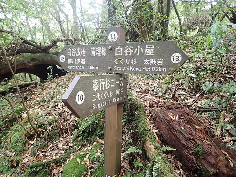
-
Branch 5_(12) 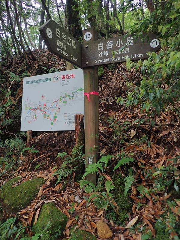
-
Branch 3_(6) -
Branch 1_(2) -
Shirataniunsui-kyo Ravine Entrance (Administration Building) Please do not leave vehicles idling in the parking lot.