
- MOE
- National Parks of Japan
- Sanriku Fukko (reconstruction) National Park
- Characteristics
Characteristics
Area: 28,537 ha (land area)
Related Prefectures: Aomori, Iwate, Miyagi
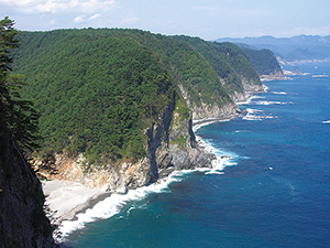
The park extends to the north and south approximately 220 km, and the northern part is also called the "Alps of the Ocean" with its dynamic cliffs. You can see a beautiful ria coast with its complex topography at the south. The coast is a breeding ground for seabirds, such as the black-tailed gull and streaked shearwater. Additionally, the coasts are a habitat for a diverse collection of maritime plants that have adapted to the unique coastal environment and visitors have an opportunity to observe wildlife up close. In the shallow waters, eelgrass beds and seaweed beds have formed, supporting the biological diversity of the maritime area.
There are some of Japan's largest fishing ports at Hachinohe, Miyako, Kamaishi, Ofunato, and Kesennuma, and visitors can enjoy fresh seafood. This national park is unlike any other in Japan as it was created for the purpose of reconstruction from a disaster, and people from all over the country visit this park to learn about disaster prevention.
Terrain/ Scenery
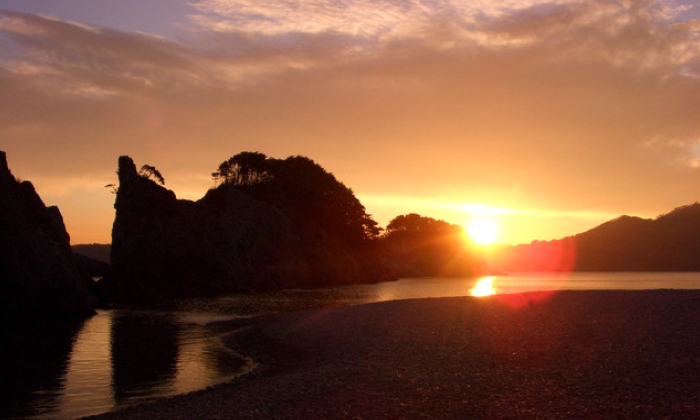
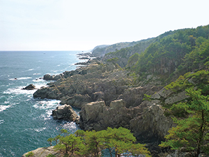
Tanesashi Coast Viewed from the Ashigezaki Viewpoint
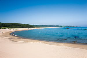
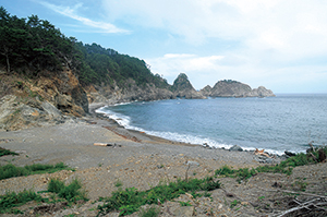
Osuka Beach
Unosudangai
Samurai Beach
Pebble Beach of Tochinaihama, Coastal Vegetation, and the Sea Coast
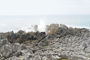
Limestone and Shiofukiana of Iwaisaki
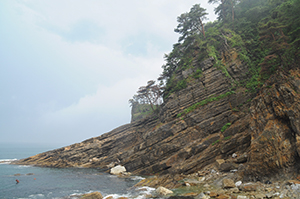
Geological Layers of Raga Coast (Exposed Aketo and Hiraiga Formations)
Plants
The area of the Rikuchu Coast is mainly covered with red pine, and depending on the environment, the cliffs and sand dune vegetation have also developed. There are also localized groups of rare vegetation such as the community of Shirobana Shakunage (rhododendron) in Kitayamazaki and the virgin forest of tabu trees in Funakoshi Oshima Island.
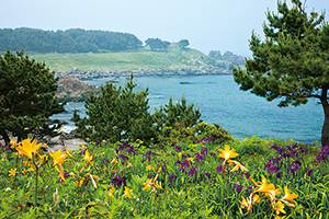
Flower Fields of Tanesashi Coast
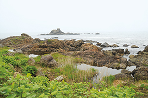
Coastal Salt Marshes
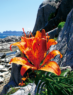
Thunberg Lily Blooming among the Rocks
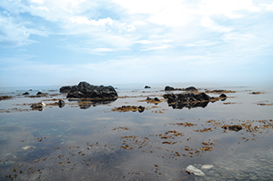
Coastal Reefs with Lush Seaweed
Wildlife
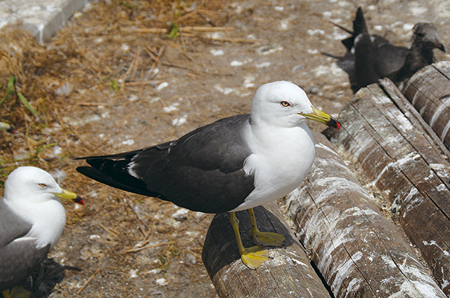
Black-tailed Gull
Culture
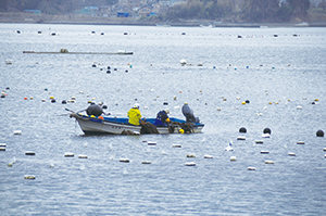
Scene of the Wakame Seaweed Harvest (Kesennuma Oshima Island)
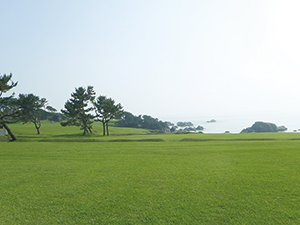
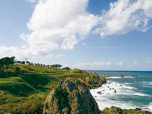
Tanesashi Lawn Field
6F, Sendai Joint Government Building No. 2, Honcho 3-2-23, Aoba Ward, Sendai City, Miyagi Prefecture 980-0014, Japan
Tel: 022-722-2870 Fax: 022-722-2872 E-mail: REO-TOHOKU@env.go.jp Location
Copyright Ministry of the Environment Government of Japan. All rights reserved.