
- MOE
- National Parks of Japan
- Fuji-Hakone-Izu National Park
- Characteristics
Characteristics
Area: 121,695 ha (land area)
Related Prefectures: Tokyo, Kanagawa, Yamanashi, Shizuoka
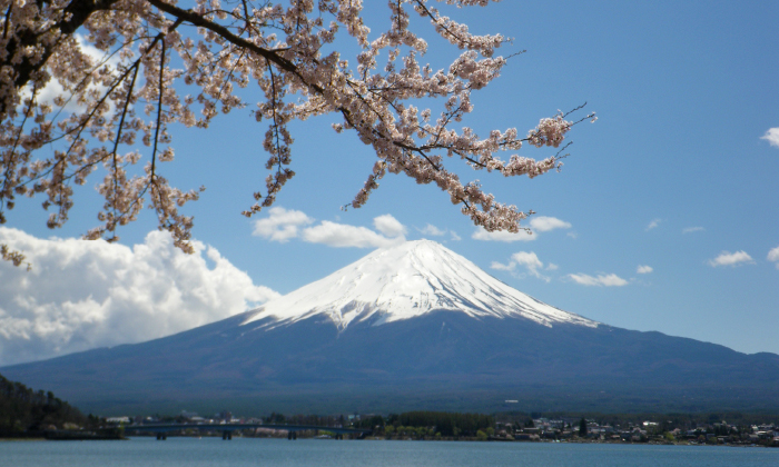
With Mt. Fuji located at its northern end, Fuji-Hakone-Izu National Park is a national park representative of Japan--a volcanic country--comprising various volcanic landforms within the Fuji Volcanic Zone as well as hot springs, richly varying coastlines, and islands.
Fuji-Hakone-Izu National Park is divided into four areas: the Mt. Fuji Area, which is centered on Mt. Fuji and includes lakes, swamps, and plateaus in the surrounding area; the Hakone Area, which served as a posting station on the Tokaido Road and has been renowned through the ages as a hot spring area; the Izu Peninsula Area, which offers the appeal of Amagi Mountain Rgange richly varying coastlines, and hot springs; and the Izu Islands Area, which comprises the seven islands in the Izu Shichito Islands, including O-shima Island and Miyake-jima Island, which even today are active volcanoes.
Providing views of graceful Mt. Fuji from all around yet located close to the metropolitan area, Fuji-Hakone-Izu National Park has the most visitors of any national park in Japan.
Terrain/ Scenery
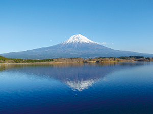
Mt. Fuji as Viewed from Lake Tanuki
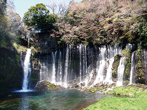
Shiraito-no-taki Falls
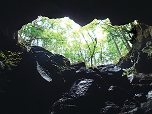
Lava Tunnel
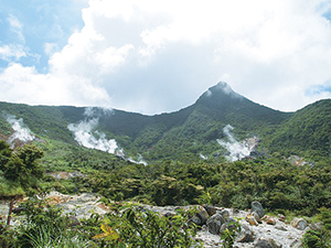
Owakudani Valley
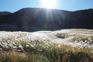
Sengokuhara Pampas Grassland
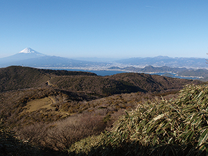
Mt. Fuji as Viewed from the Izu Mountain Ridgeline Trail
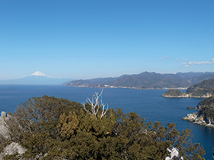
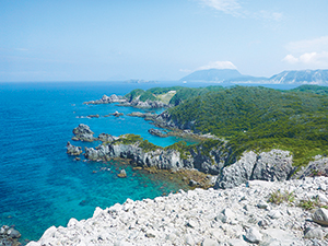
View of Sea Cliffs and Mt. Fuji
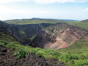
Crater of Mt. Mihara on O-shima Island
View from the Kanbiki Observatory on Shikine-jima Island
Plants
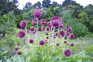
Fujiazami (Cirsium Purpuratum)
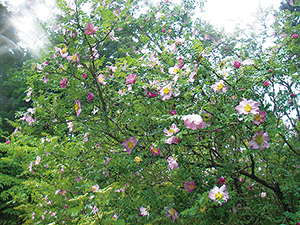
Rosa hirtula
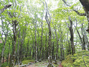
Japanese Beech Forest on the Amagi Trail
Wildlife
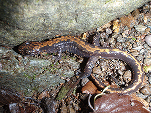
Hakonesansyouo (Onychodactylus japonicus)
In addition, Indian Ocean bottlenose dolphins live in the ocean waters around Mikura-jima Island, and dolphin watching activities are carried out in compliance with set rules.
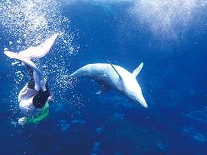
Dolphin Watching
Culture
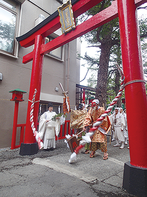
Kaizansai (Mountain Opening Festival)
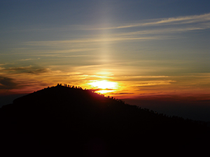
Goraiko (The Sun rising behind Mt. Fuji)
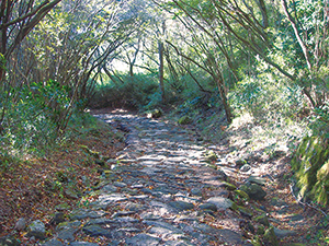
Stone Paved Road of Hakone-Hachiri
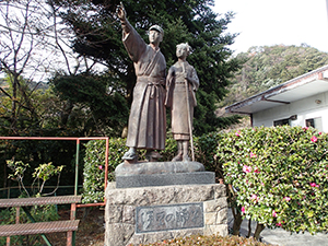
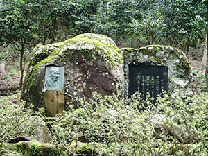
Monument to Yasunari Kawabata's The Dancing Girl of Izu
6F Saitama-shintoshin Joint Government Building No.1
1-1 Shintoshin Chuo Ward, Saitama City, Saitama Prefecture 330-9720, Japan
Tel: 048-600-0516 Fax: 048-600-0517 E-mail: REO-KANTO@env.go.jp Location
Copyright Ministry of the Environment Government of Japan. All rights reserved.