Level 4Climbing Trails to Experience the Pristine Natural Environment of the Mountains
4-3Yodogawa Trail Entrance - Mt. Miyanoura - Arakawa Trail Entrance (overnight)
This route can be started and finished at either the Yodogawa Trail Entrance or the Arakawa Trail Entrance. It runs along the ridgeline of Okudake Range, and assumes stays in the Shin-takatsuka and Takatsuka Huts. It boasts some of the most notable highlights of the mountains of Yakushima Island, including Mt. Miyanoura and the Jomon-sugi Cedar. Knowledge, experience, and equipment for overnight stays in the mountains is required.
| Total distance | 21.0 km (for reference) |
|---|---|
| Level of physical strength | 5 |
| Level of difficulty | D |
Display switching
Map
Approval by the Director-General of the Geospatial Information Authority of Japan based on the Survey Act (use) R3JHs 762
Detailed route
-
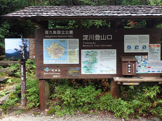
Yodogawa Trail Entrance 


-
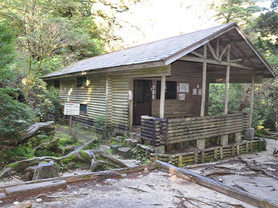
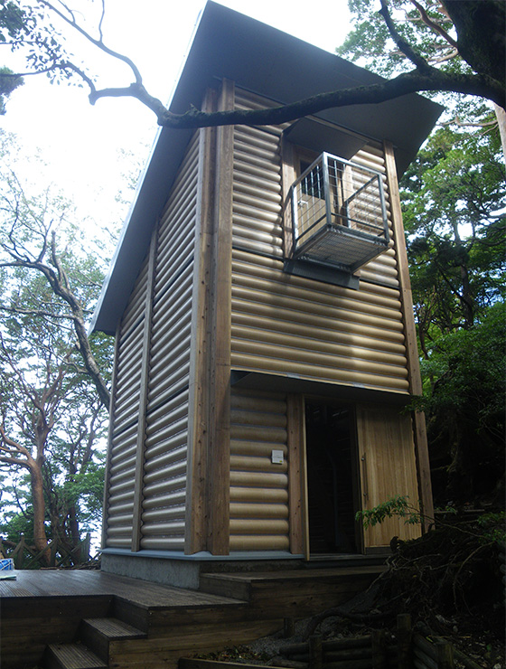
Yodogawa Hut 

-
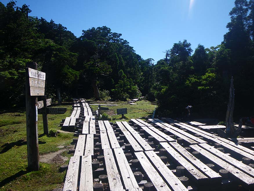
Hananoego Junction Portable toilet huts are provided in the area.
-
Kuromidake Branch 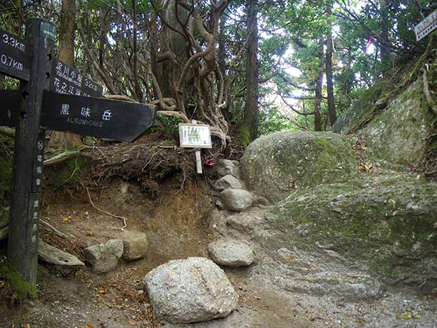
-
Nageishidaira 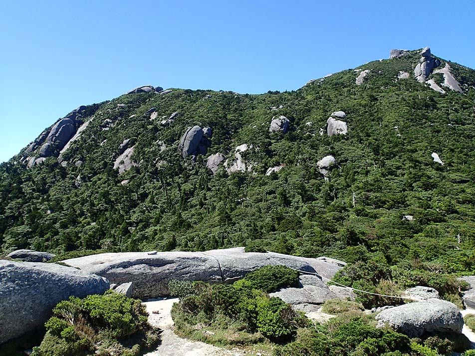
-
Mt. Okina Saddle 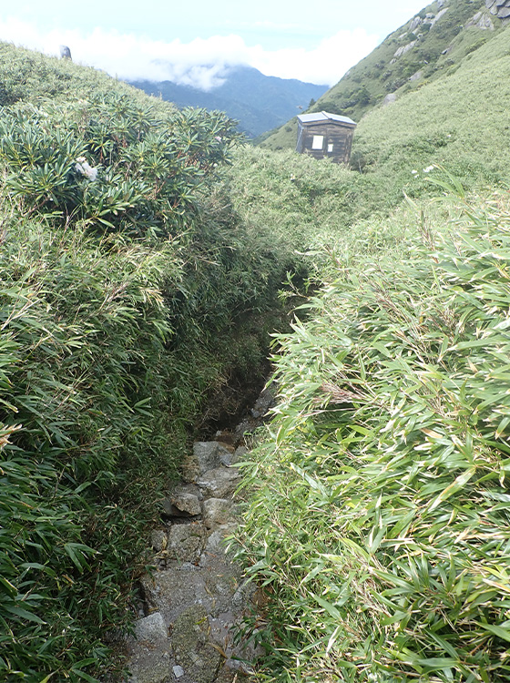
-
Mt. Miyanoura 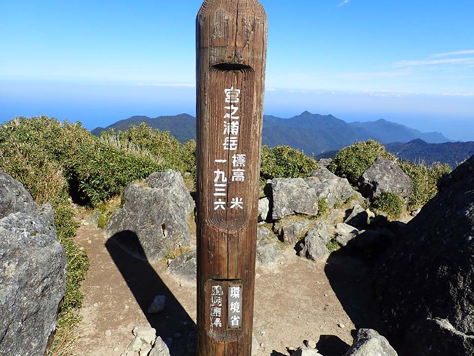
-
Yakeno Three-way Junction 
-
Hiraishiiwaya 
-
Daiichi Tenboudai Viewing Point -
Shin-takatsuka Hut 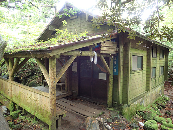
-
Takatsuka Hut 
-
Jomon-sugi Cedar 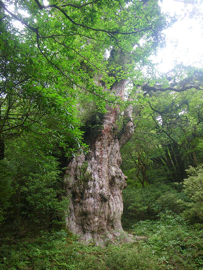
-
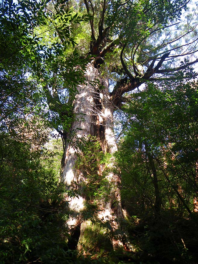
Daio-sugi Cedar Portable toilet huts are provided in the area.
-
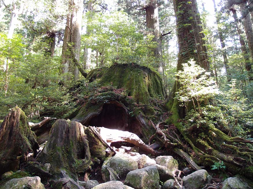
Wilson-kabu Stump Toilet huts are located near the Okina-sugi Cedar remains, and a water point is located beside the trail above the Wilson-kabu Stump.
-
Okabu Trail Entrance 
-
Kusukawa Junction 
-
Old Kosugidani Village Site 
-
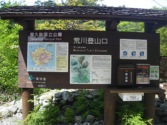
Arakawa Trail Entrance Available for general use only between December and the end of February.