Level 4Climbing Trails to Experience the Pristine Natural Environment of the Mountains
4-6Ryujin-sugi Cedar round trip (day trip)
This is a round-trip route to the Ryujin-sugi Cedar. Highlights include several famous ancient trees, such as the Ryujin-sugi Cedar, a trail of moss-covered stone steps, and remains of the forest railway. The route requires decision-making skills in bad weather, since it includes some streams where it becomes difficult to cross when the water level rises.
| Total distance | 9.0 km (for reference) |
|---|---|
| Level of physical strength | 3 |
| Level of difficulty | E |
Display switching


Map
Approval by the Director-General of the Geospatial Information Authority of Japan based on the Survey Act (use) R3JHs 762
Detailed route
-
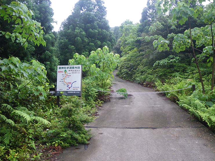
Ryujin-sugi Cedar Trail Entrance 
Unpaved forest trail up to entrance to climbing track.
-
Railcar track Branch 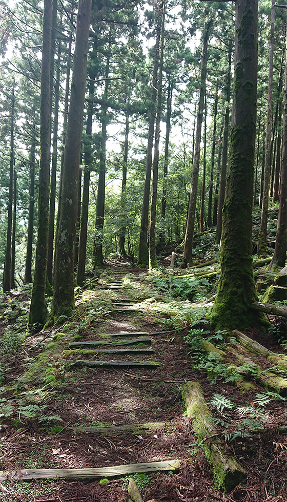
-
Railcar track end 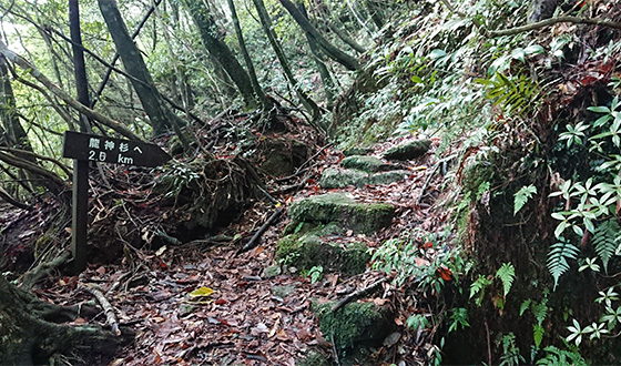
-
Ryujin-sugi Cedar 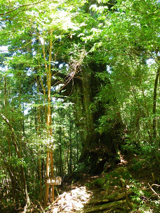
-
Railcar track end -
Railcar track Branch -
Ryujin-sugi Cedar Trail Entrance Unpaved forest trail up to entrance to climbing track.