4-1Arakawa Trail Entrance - Jomon-sugi Cedar - Shirataniunsui-kyo Ravine (overnight)
It is part of the round-trip route to the Jomon-sugi Cedar, and passes through the Shirataniunsui-kyo Ravine. Compared to the Arakawa Trail Entrance Round-trip Route, this requires plenty of time and sufficient physical strength since it involves travel over the Tsujitoge Pass. With many highlights including the Jomon-sugi Cedar and Kokemusu-mori Forrest, the route provides an experience of the pristine nature of the mountains of Yakushima Island. In the Shirataniunsui-kyo Ravine, fording streams becomes difficult at some crossing points when the water level rises, so the route requires decision-making skills in bad weather. The route requires decision-making skills in bad weather.
| Total distance | 19.0 km (for reference) |
|---|---|
| Level of physical strength | 5 |
| Level of difficulty | C |
Display switching
Detailed route
-
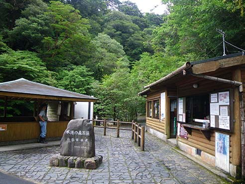
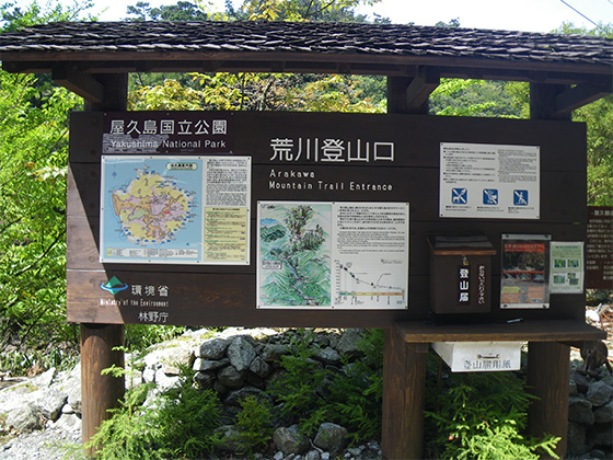
Arakawa Trail Entrance 


Available for general use only between December and the end of February.
-
Old Kosugidani Village Site 
-
Kusukawa Junction 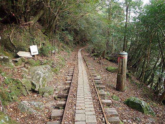
-
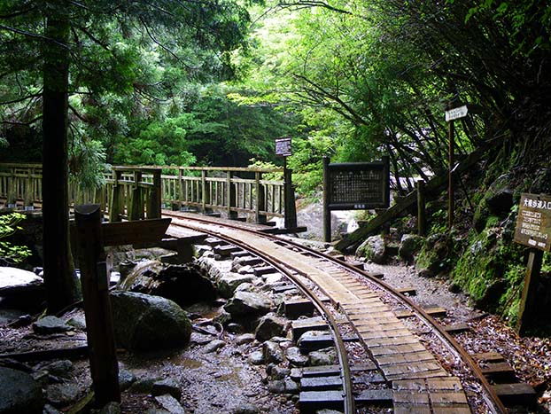
Okabu Trail Entrance 
-
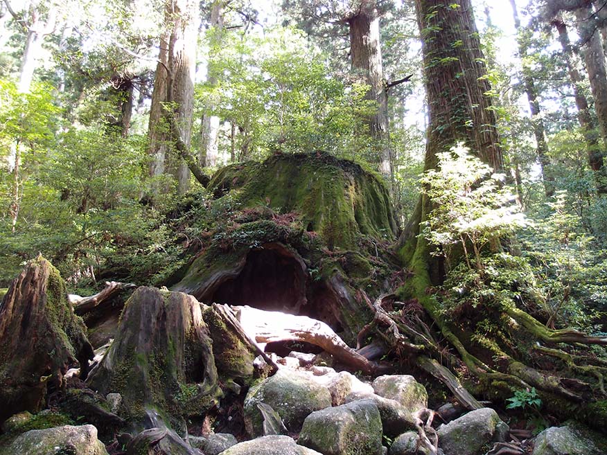
Wilson-kabu Stump Toilet huts are located near the Okina-sugi Cedar remains, and a water point is located beside the trail above the Wilson-kabu Stump.
-
Daio-sugi Cedar 
Portable toilet huts are provided in the area.
-
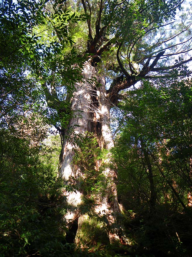
Jomon-sugi Cedar 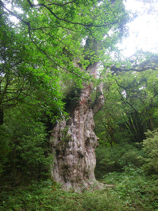
-
Daio-sugi Cedar Portable toilet huts are provided in the area.
-
Wilson-kabu Stump Toilet huts are located near the Okina-sugi Cedar remains, and a water point is located beside the trail above the Wilson-kabu Stump.
-
Okabu Trail Entrance -
Kusukawa Junction -
Tsujitoge Pass 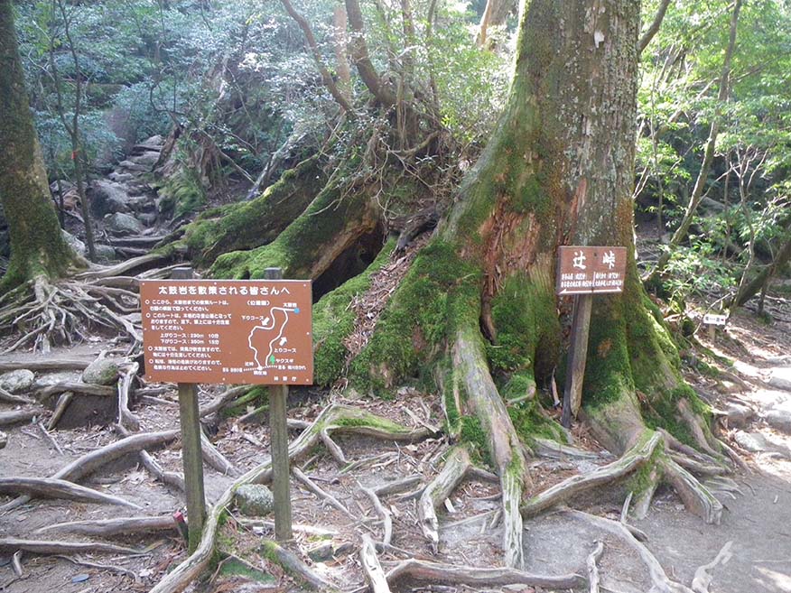
-
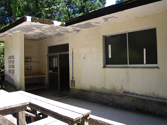
Shiratani Hut 
-
Branch 4_(11) 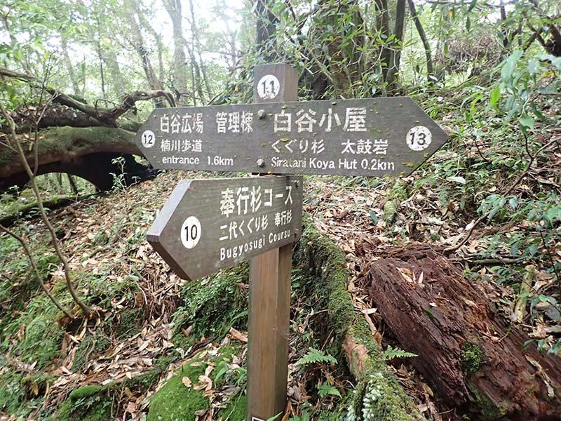
-
Branch 5_(12) 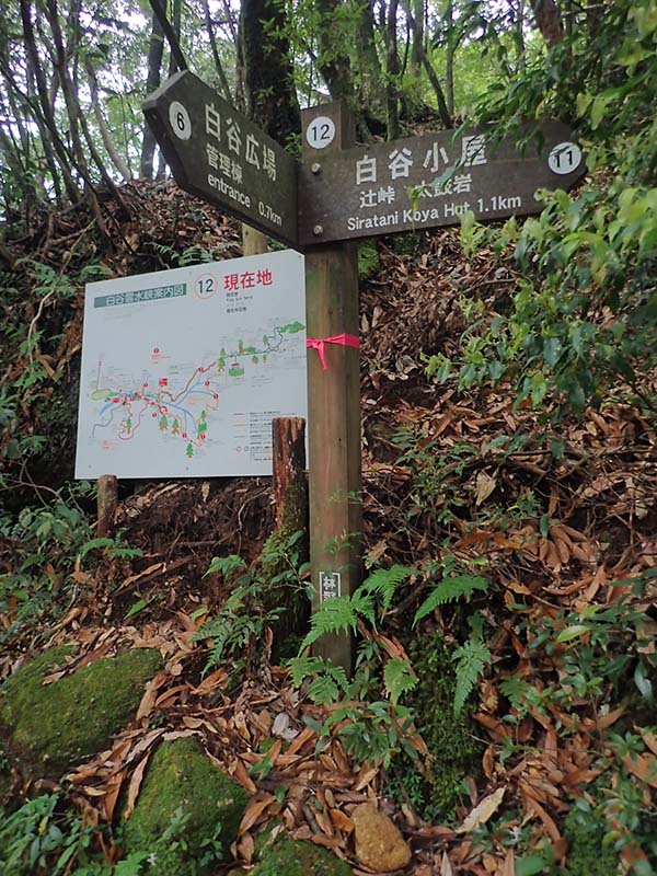
-
Branch 3_(6) 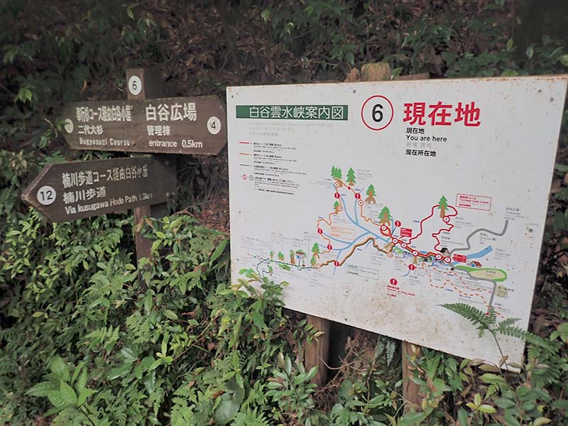
-
Branch 1_(2) 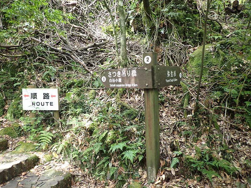
-
Shirataniunsui-kyo Ravine Entrance (Administration Building) Please do not leave vehicles idling in the parking lot.