Level 3Climbing Trails to Experience the Natural Environment of the Mountains
3-5Yakusugi Land - Yamato-sugi Cedar round trip (day trip)
The course passes through Yakusugi Land and continues to the Yamato-sugi Cedar, one of Yakushima Island’s notable ancient trees. The route passes through virgin forests of trees covered in moss, providing visitors with an experience of the natural environment of the mountains of Yakushima Island. Although it can be completed in a day, the route has many areas where it is possible to become lost, and it therefore requires not only trekking experience but also map-reading skills.
| Total distance | 6.0 km (for reference) |
|---|---|
| Level of physical strength | 3 |
| Level of difficulty | E |
Display switching


Map
Approval by the Director-General of the Geospatial Information Authority of Japan based on the Survey Act (use) R3JHs 762
Detailed route
-
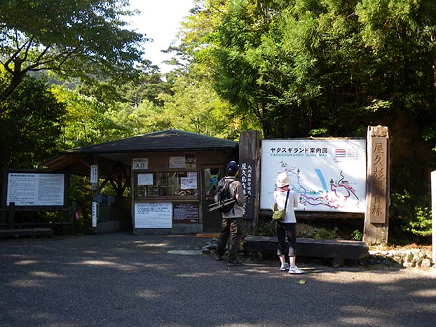
Yakusugi Land Entrance 


Toilets are located in the Shinsen building across from the entrance.
-
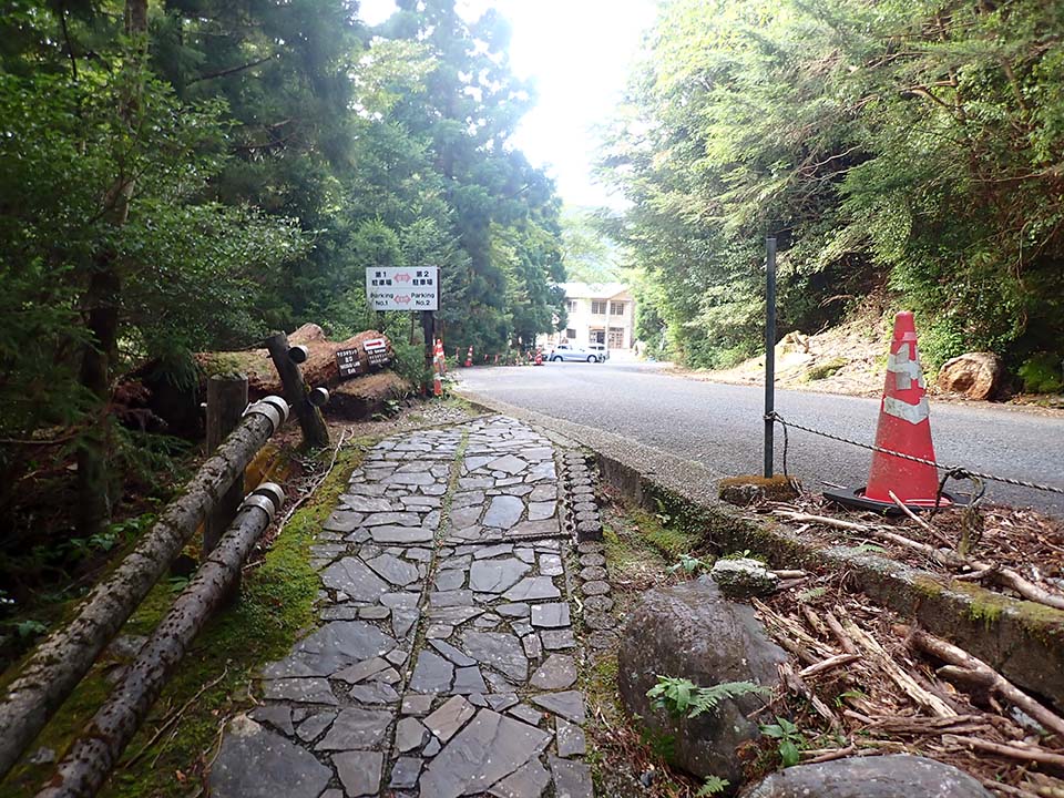
Rinsenbashi Bridge -
Branch A_(4) 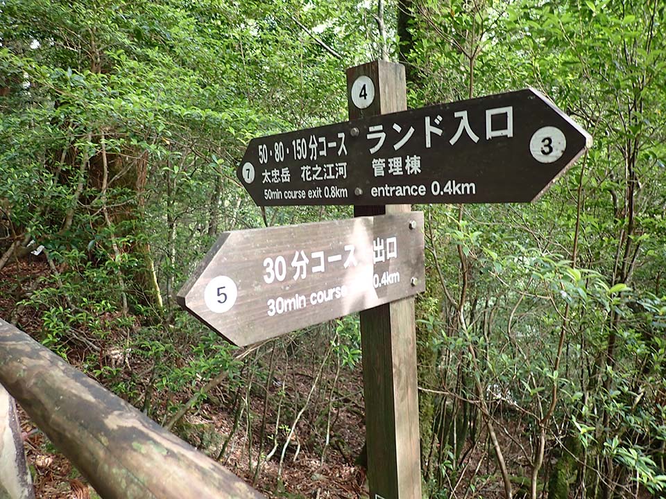
-
Branch C_(7) 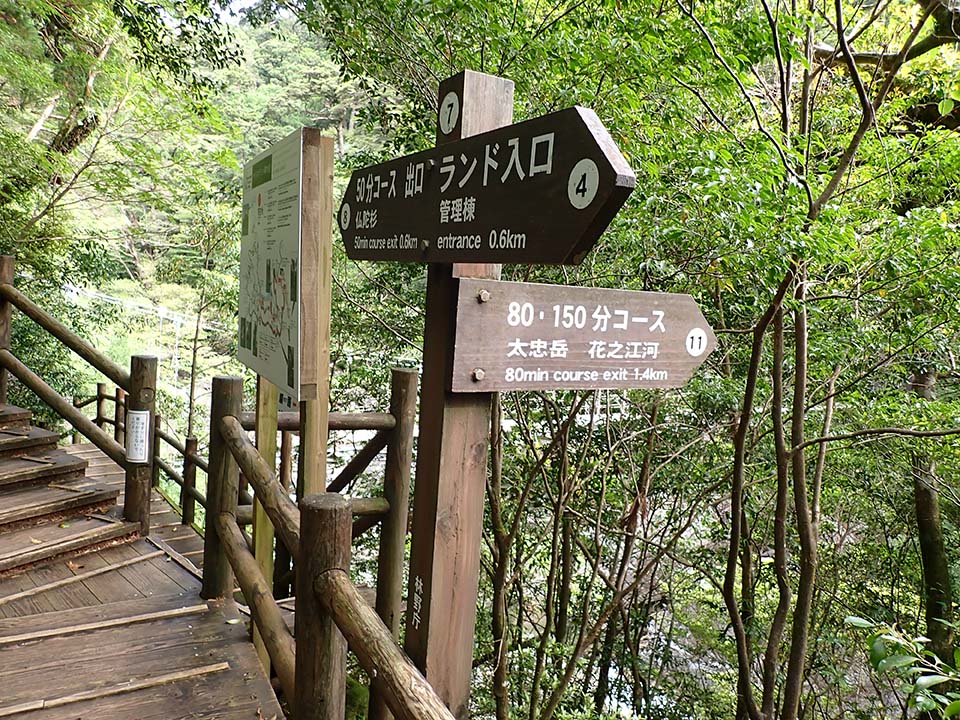
-
Branch E_(11) 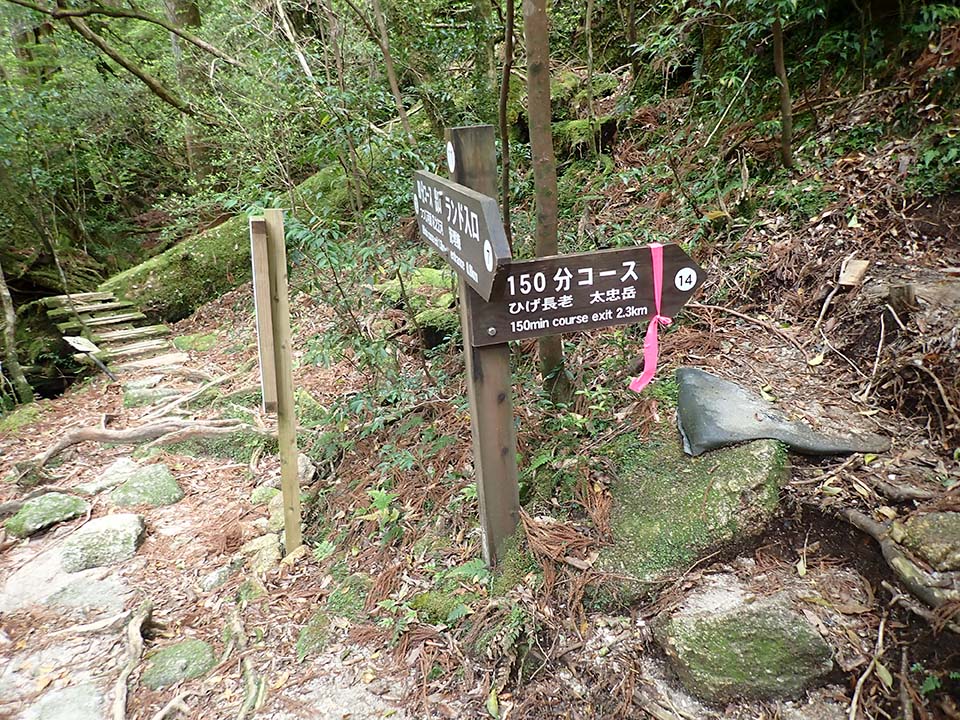
-
Branch F_(12) 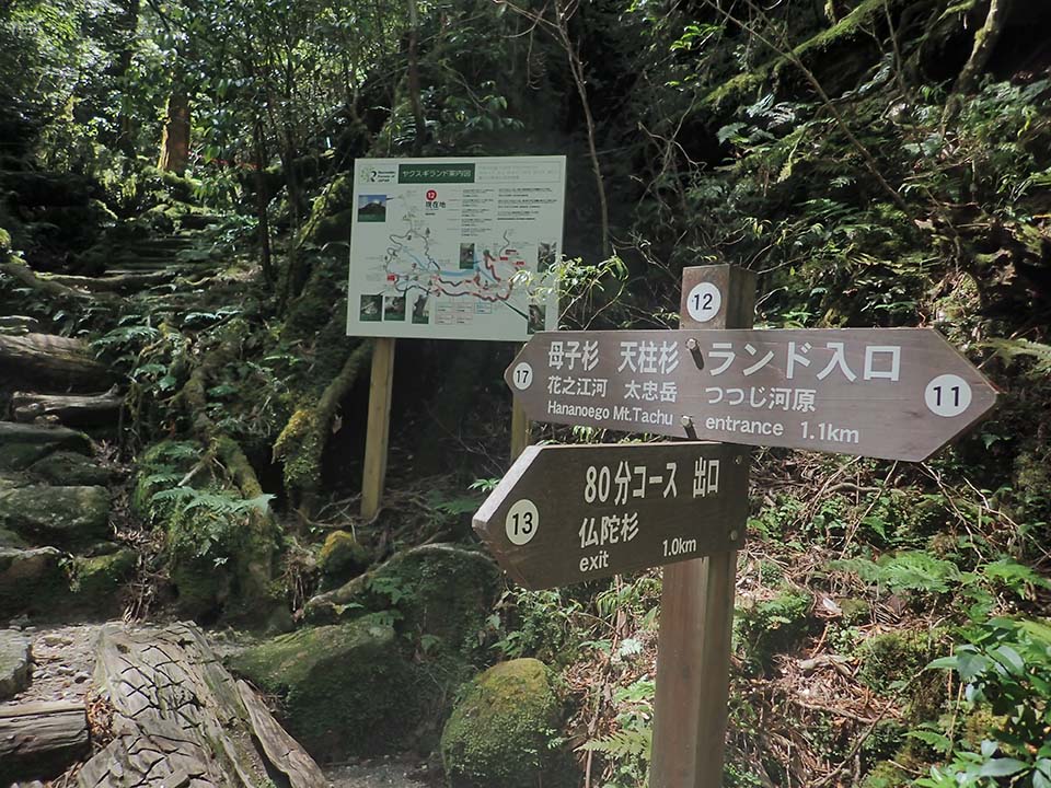
-
Branch H_(17) 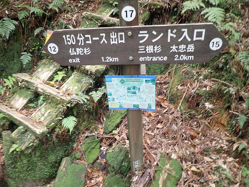
-
Yamato-sugi Cedar 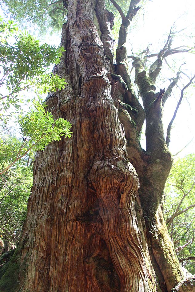
-
Branch H_(17) -
Branch F_(12) -
Branch D_(9) 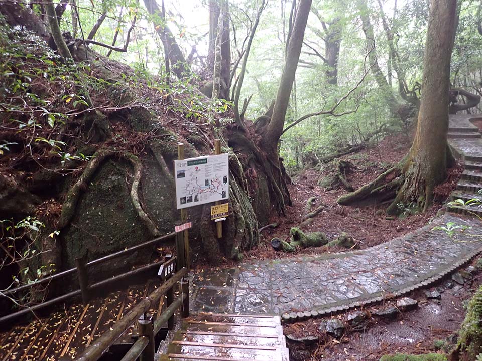
-
Branch B_(5) 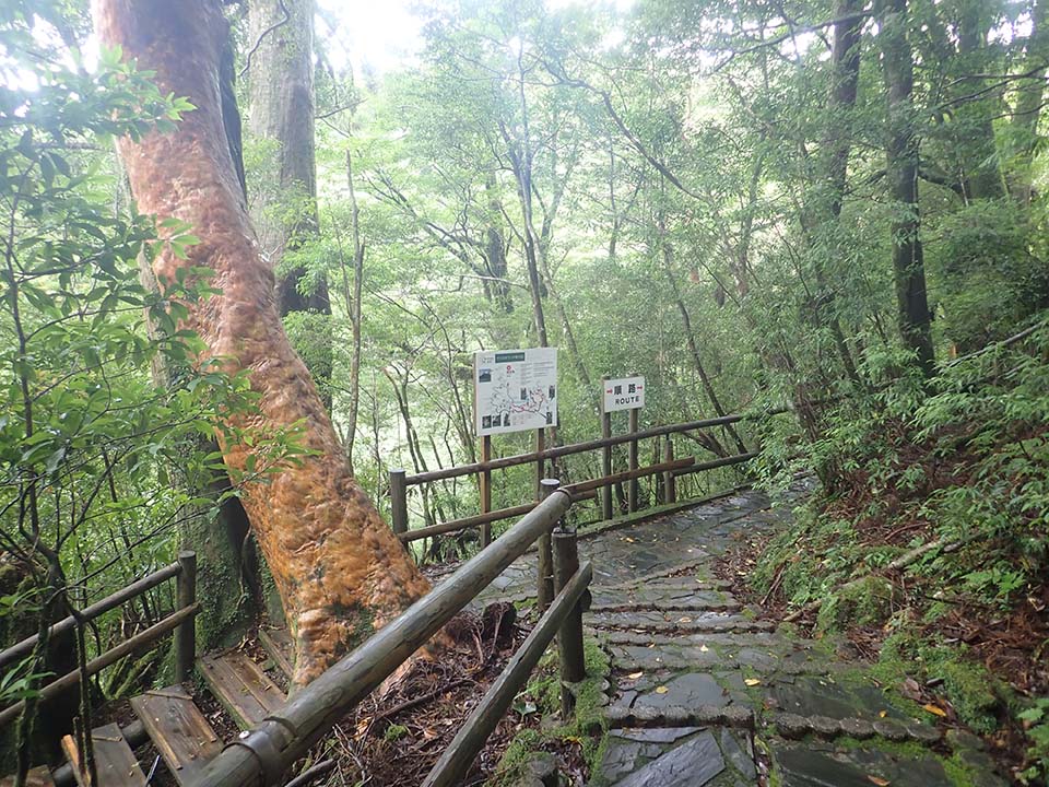
-
Seiryobashi Bridge 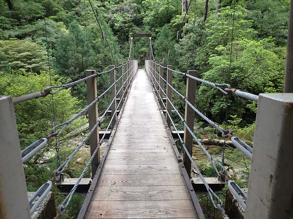
-
Yakusugi Land Exit Please do not leave vehicles idling in the parking lot.