Level 2Trekking Trails to Enjoy the Natural Environment of the Mountains
2-3Yakusugi Land (80 min. course)
This popular route is known as the '80-minute Course'. River scenery unique to Yakushima can only be viewed on the 80-minute course. Many parts of the trail are unpaved, and trekking shoes are recommended.
| Total distance | 2.0 km (for reference) |
|---|---|
| Level of physical strength | 1 |
| Level of difficulty | A |
Display switching


Map
Approval by the Director-General of the Geospatial Information Authority of Japan based on the Survey Act (use) R3JHs 762
Detailed route
-
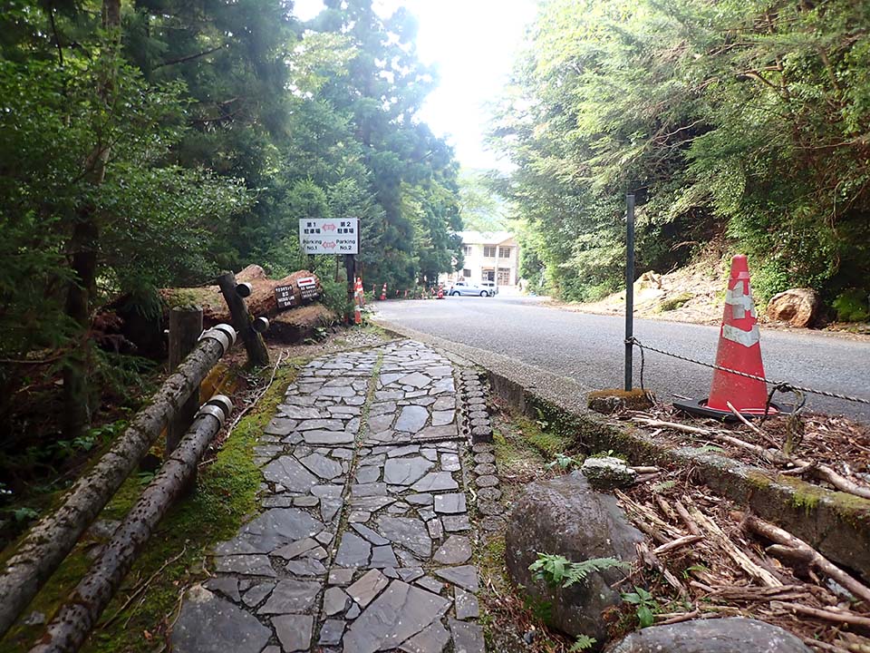
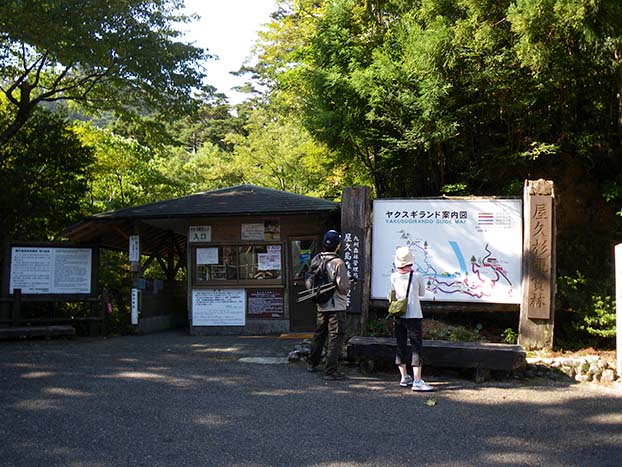
Yakusugi Land Entrance 


Toilets are located in the Shinsen building across from the entrance.
-
Rinsenbashi Bridge -
Branch A_(4) 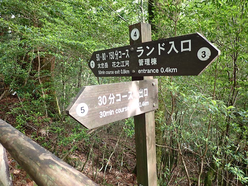
-
Branch C_(7) 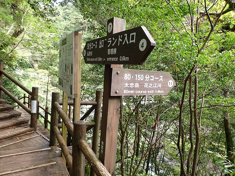
-
Branch E_(11) 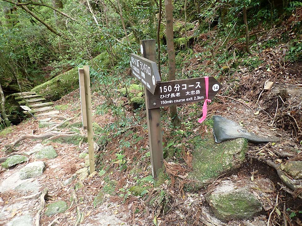
-
Kokenohashi Bridge 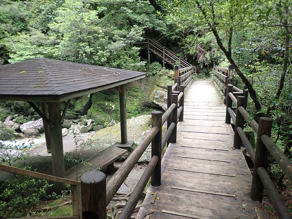
-
Branch F_(12) 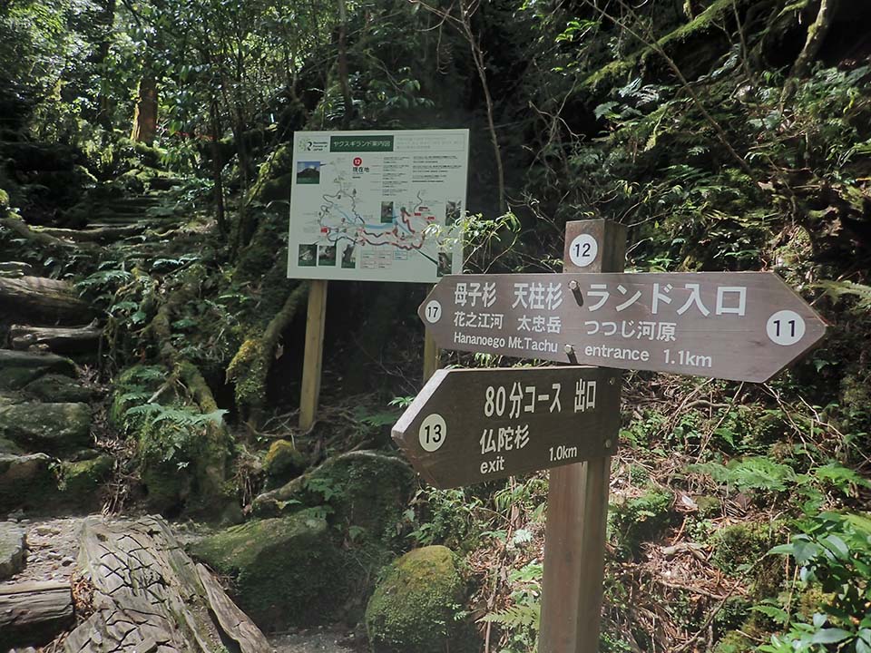
-
Sawatsubashi Bridge 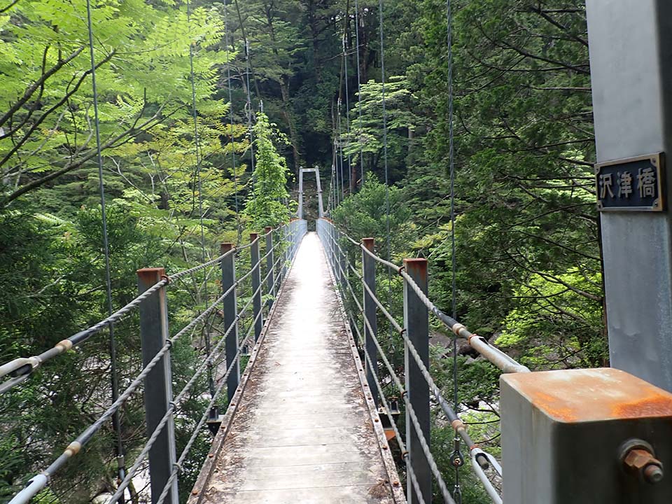
-
Branch D_(9) 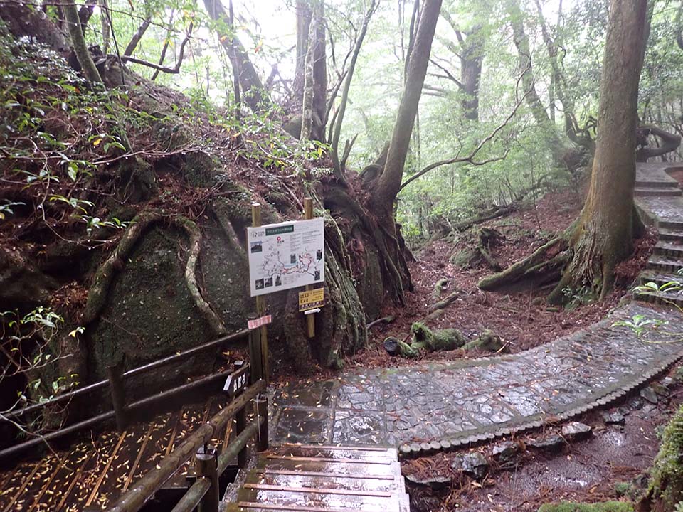
-
Branch B_(5) 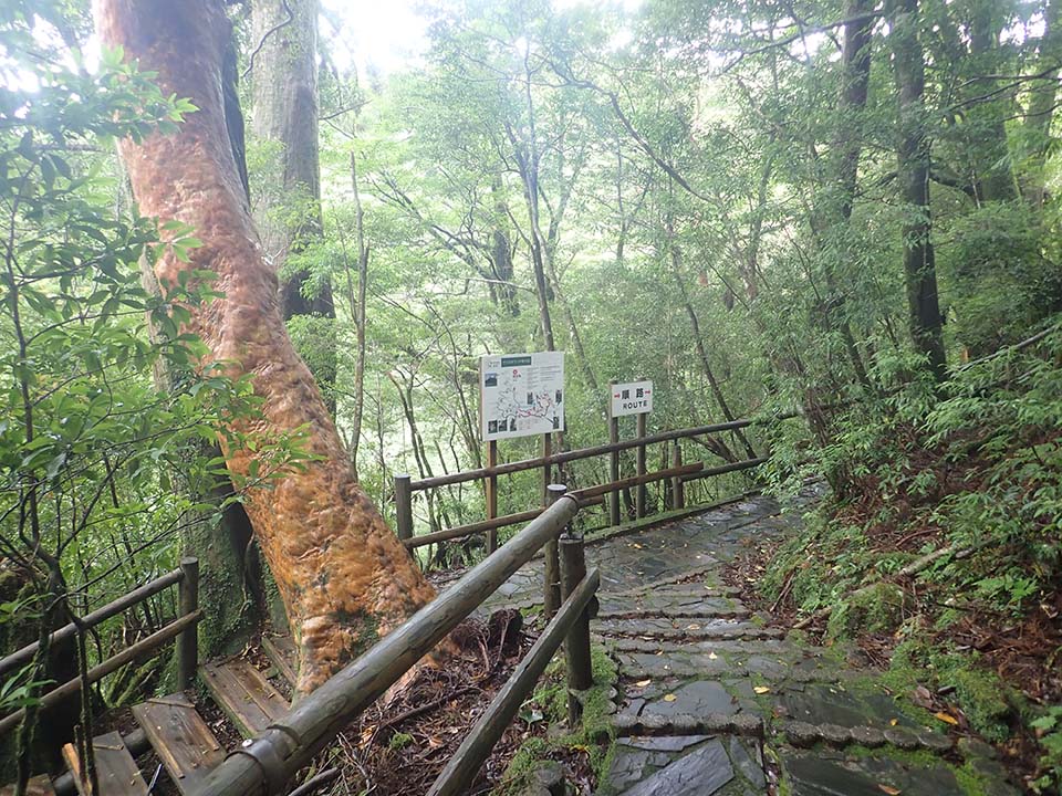
-
Seiryobashi Bridge 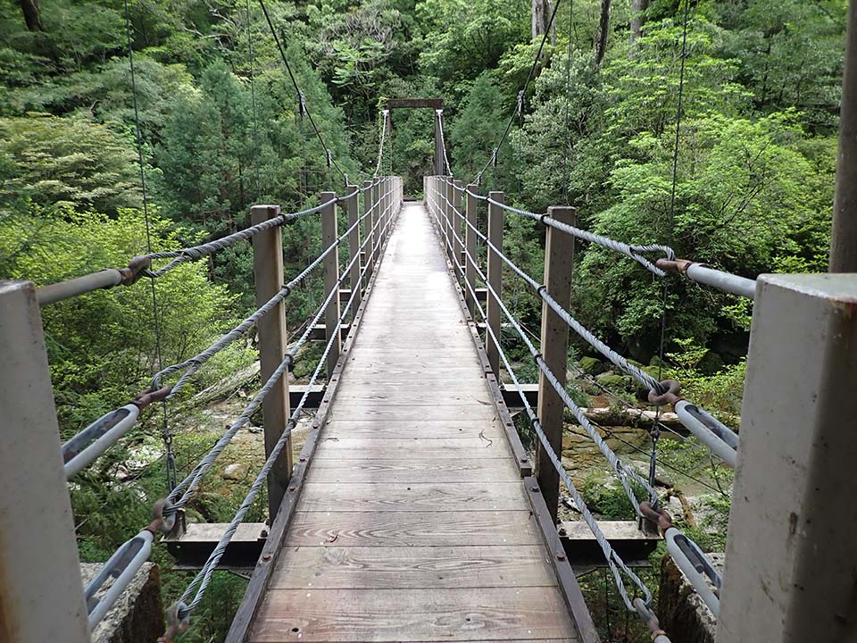
-
Yakusugi Land Exit Please do not leave vehicles idling in the parking lot.