ASPA18
Cape Crozier, Ross Island (77°32’S,
169°19’E)
|
ASPA18
|
|
Cape Crozier, Ross Island (77°32’S,
169°19’E)
|
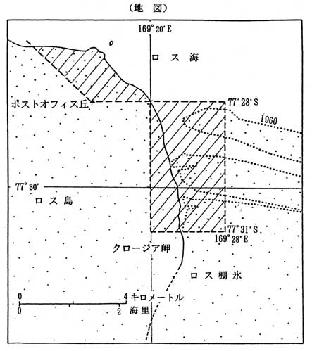
| The Area comprises of a block enclosed by the lines of 77°28’S, 169°28’E, 77°31’S, 169°20’E, and an area defined by a line from 77°28’S, 169°20’E to the summit of Post Office Hill continuing to the northeast along the 45 degree line, then along the coastline southward to the starting point. (The shadowed area shown in the map below.) |
|
|