
- MOE
- National Parks of Japan
- Yoshino-Kumano National Park
- Characteristics
Characteristics
Area: 61,406 ha (land area)
Related Prefecture: Mie, Nara, Wakayama
In addition, a portion of the area is designated a World Heritage site, named the "Sacred Sites and Pilgrimage Routes in the Kii Mountain Range" and a part of the northern area is designated as a UNESCO Eco Park aimed at the harmonization of preserving the ecosystems and ensuring sustainable utilization, as well as the Nanki Kumano area in Wakayama Prefecture is registered as the Japanese Geopark.
Terrain/ Scenery
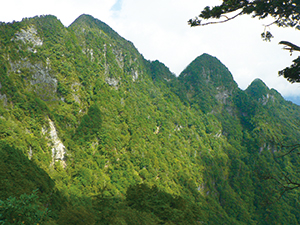
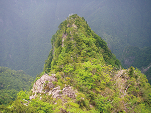
Sheer Mountains
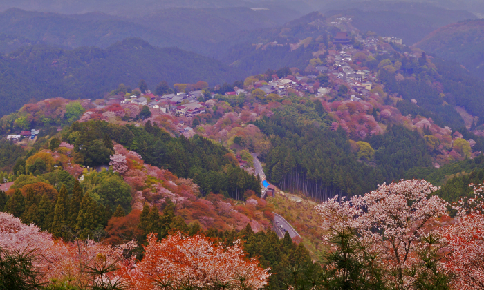
Breathtaking Views of Odaigahara Plateau (Viewed from Daijagura)
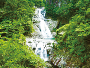
Nanatsu-gama Falls (Osugi Valley)(Copyright by Masahiro Mori)
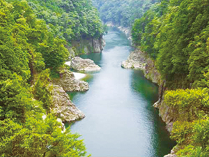
Dorokyo Gorge
The Dorokyo Gorge located midstream of the Kitayama River is a gorge situated downstream basin of the Kitayama River, which is a tributary of the Kumano River fed by waters flowing down from the Omine Mountain Range and Odaigahara Plateu. The gorge is divided into several sections from upstream to downstream: Oku-Doro, Kami-Doro, and Shimo-Doro. Shimo-Doro is also referred to as Doro-Haccho. This area features a diverse array of linked scenic elements consisting of vertically sheared cliffs created through the erosion of geological layers formed by the solidification of magma, oddly shaped rocks, and deep pools of water. Board a hovercraft or other vessel to explore the beautiful allure of this extraordinary gorge.
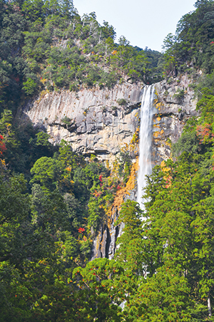
Nachino-Otaki Falls
Tategasaki
Due to repeated patterns of sedimentation and prominence, the coastal line became complicated and varied, exhibiting diverse coastal topographies of submerged beaches, shingle beaches, and coastal terraces.
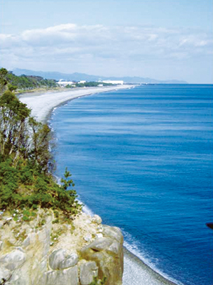
Oujigahama Beach
The coastal line from the periphery of Katsuura to the Uragami Peninsura forms a complex coastline showing complicated landscapes with numerous indentations.
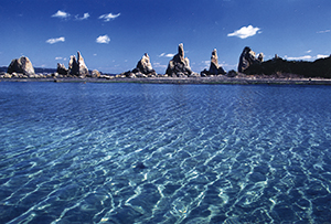
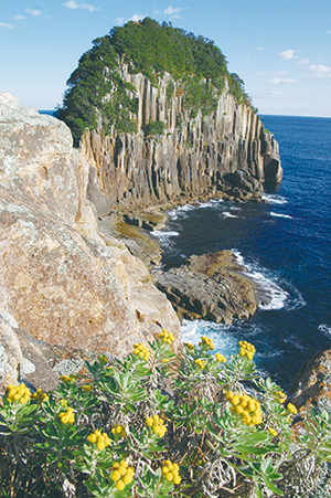
Hashigui Rock (Copyright by Kushimoto Town)
Plants
Affected by the Japan Current, this area is a suitable habitat for warm-season orchids and ferns, as well as the northern limit for Histiopteris incise, Asplenium antiquum Makino, Pteris fauriei, Ipomoea pes-caprae, Crinum asiaticum L. var. japonicum, Ipomoea indica, and other warm-season plants.
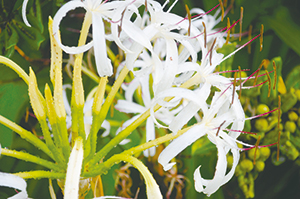
Crinum asiaticum L. var. japonicum
Wildlife
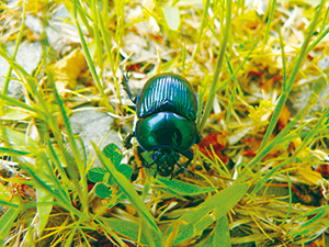
G. auratus auratus Motschulsky
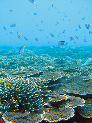
Corals
Cultural Landscape
Spiritual mountain climbing to the Ominesan-ji Temple continues even now. (Mt. Sanjogatake)
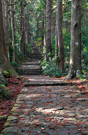
Daimonzaka Stone Pave
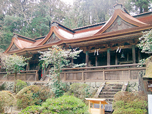
The Shrine Surrounded by Trees (Mikumari-jinja Shrine)
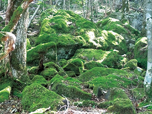
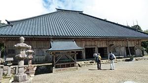
There are old shrines and temples that remain and pass down old traditions throughout Mt. Yoshino, Dorogawa, Mt. Sanjogatake and Zenki, as well as Mt. Nachi called Kumano Sanzan, main, and new shrines.
4F, Sakuranomiya Joint Government Building, Tenmabashi 1-8-75, Kita Ward ,Osaka City , Osaka Prefecture 530-0042, Japan
Tel: 06-6881-6500 Fax: 06-6881-7700 E-mail: REO-KINKI@env.go.jp Location
Copyright Ministry of the Environment Government of Japan. All rights reserved.