
- MOE
- National Parks of Japan
- Myoko-Togakushi renzan National Park
- Characteristics
Characteristics
People's lives cradled in the workings of Mother Earth, and worships woven into scenery
Area: 39,772 ha
Related Prefecture: Niigata, Nagano
There are also the famous mountains Mt. Myoko and Mt. Takatsuma, which are listed in the Nihon Hyakumeizan (Hundred famous mountains in Japan), Mt. Iizuna; recommended for beginner mountaineers, and the steep Togakushi Mountain Range, where experts can also enjoy; all of which account for its great popularity as a field for mountaineering. In addition, the highland at the base of mountains attracts a large number of diverse visitors who are drawn to explore the nature in the summer, skiing and natural hot springs in the winter. This park area, on the other hand, is a heavy snowfall area, in which the harsh yet magnificent workings of nature, coupled with the unique culture and mountain worship, which received the bounty of nature, create a unique scenery only found in this part of the world.
Terrain/ Scenery
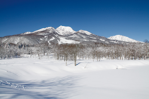
Mt. Myoko in the Winter
A view point in the Mt. Amakazari (Geosite) and the Shiroike Pond (outside the park)
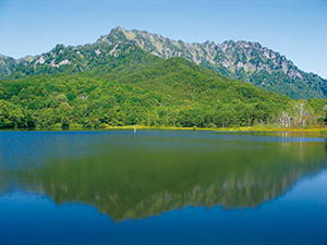
Togakushi Mountain Range seen from the Kagami Pond
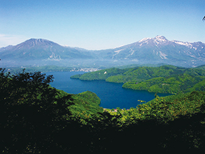
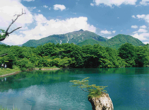
A panoramic view of Lake Nojiri viewed from the Sugekawa forest road. Mt. Kurohime and Mt. Myoko (from left.)
Plants
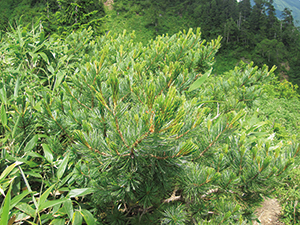
Creeping Pine Trees
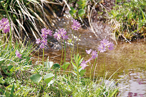
Primula cuneifolia Ledeb. var. hakusanensis makino
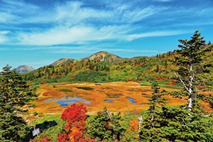
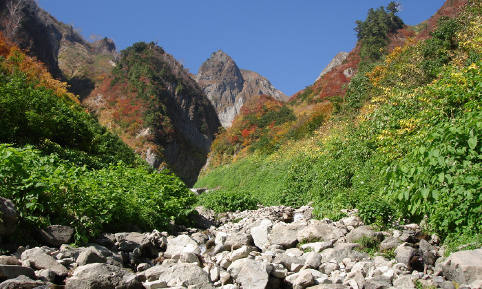
Crimson Foliage of the Koya Pond (From the mid to end of September)
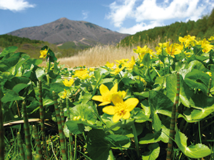
Caltha palustris var. nipponica and Mt. Iizuna
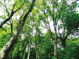
Japanese Beech Forests (at the foot of Mt. Amakazari)
Wildlife
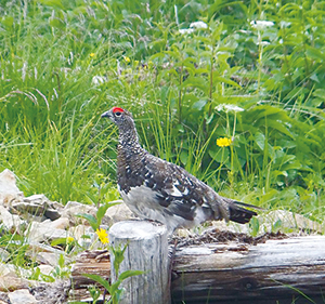
Male Rock Ptarmigan
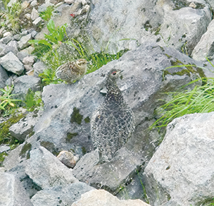
Female and a Chick of Rock Ptarmigan
Culture
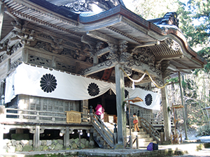
Togakushi-jinja Okusya Shrine (Hokosha Shrine)
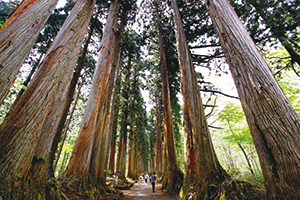
Japanese Cedar-lined Approach to the Okusya Shrine
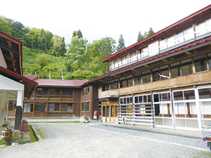
Otari Onsen
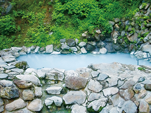
Tsubame Onsen (Open-air bath)
Nagano Joint Government Building No. 1, Asahi Town 1108, Nagano City, Nagano Prefecture 380-0846, Japan
Tel: 026-231-6570 Fax: 026-235-1226 E-mail: NCO-NAGANO@env.go.jp Location
Copyright Ministry of the Environment Government of Japan. All rights reserved.