
- MOE
- National Parks of Japan
- Bandai-Asahi National Park
- Characteristics
Characteristics
Area: 186,389 ha
Related Prefectures: Yamagata, Fukushima, Niigata
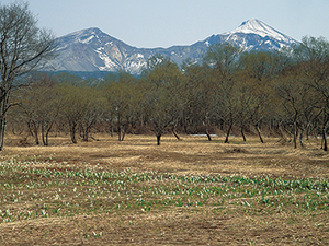
Dewasanzan is famous as a place of mountain worship and has historical appeal. In the Iide and Asahi Mountain Ranges, a highly primitive natural environment has been preserved, and visitors can enjoy the mountainous views surrounded by majestic mountains and the tender beauty of a flower field after a long walk. The Azuma Mountain Range and the area around Mt. Bandai have dynamic views, lakes and marshes of various sizes created by volcanoes and rich forests that are combined to create a beautiful landscape with lots of variety. With convenient access from the urban area, this is popular place where people can enjoy a variety of recreation such as mountain climbing, exploring nature, going to hot springs, and skiing. Bandai-Asahi National Park is filled with plenty of attractions from its mountains with deep forests to its dynamic volcanic area, the lakes and marshes filled with water, and the mountain worship traditions passed over the ages.
Additionally, since the park area covers a vast area of land, there are a wide variety of mountains that can be enjoyed by everyone from beginners to seasoned climbers, and so the park attracts many climbers.
Terrain/ Scenery
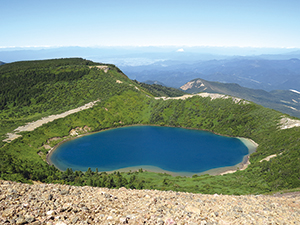
Goshiki Pond is also called the "Witch's eyes" (Crater lake of Mt. Azuma)
Akanuma Pond (Crater lake of Mt. Bandai)
Subalpine Coniferous Forest of Mt. Nishi-Azuma
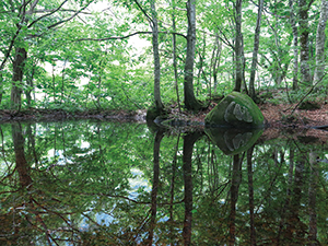
Japanese Alder Forests and Mizubasho (Asian Skunk-cabbage) on the Shores of Lake Hibara
Mt. Gassan (Volcano)
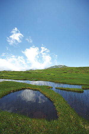
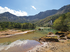
Ponds of Midagahara at Mt. Gassan
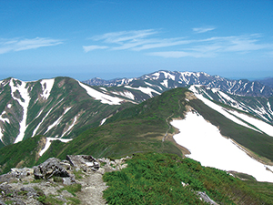
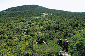
Ridgelines of the Asahi Mountain Range (Non-volcanic mountain range)
The foothills and mountainsides of this region are covered with dense forests that nurture diverse flora and fauna, and are a habitat for larger mammals and birds of prey that require a large area of natural forest to survive.
Additionally, the high marshes and grasslands are home to plants and insects that have adapted to the harsh environment.
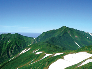
Ridgeline of the Iide Mountain Range (Non-volcanic Mountain Range)
Buna forests in the foothills of the Iide Mountain Range (Nukumidaira)
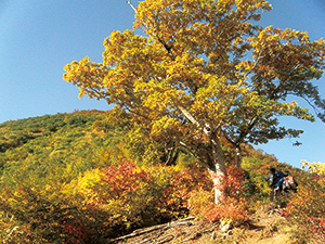
Autumn Japanese Beech Leaves
Plants
Wildlife
Culture
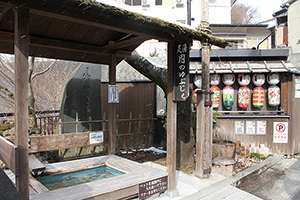
Footbath at Tsuchiyu Onsen
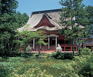
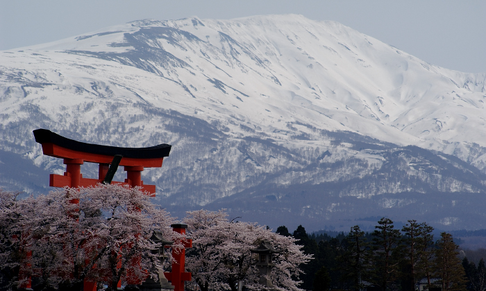
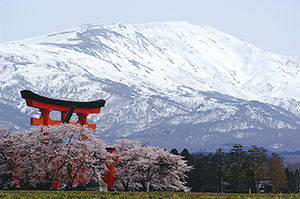
Dewasanzan-jinja Shrine and Sanjingousaiden on Mt. Haguro
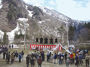
Kumamatsuri (Bear Festival) of Oguni Town
6F, Sendai Joint Government Building No. 2, Honcho 3-2-23, Aoba Ward, Sendai City, Miyagi Prefecture 980-0014, Japan
Tel: 022-722-2870 Fax: 022-722-2872 E-mail: REO-TOHOKU@env.go.jp Location
Copyright Ministry of the Environment Government of Japan. All rights reserved.